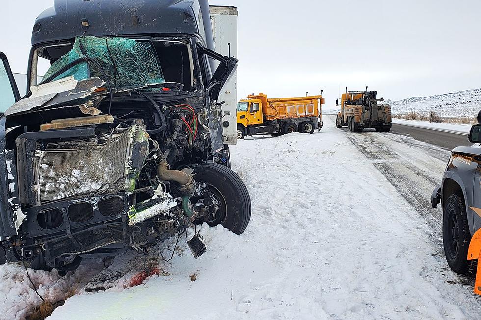
‘Very Poor’ Road Conditions Likely in Central, SE Wyoming [VIDEO]
An approaching winter storm is expected to bring very poor travel conditions to roads and highways across central, southern and eastern Wyoming on Monday and Tuesday.
K2 Radio Meteorologist Don Day of DayWeather expects high travel impacts to I-25 and I-80, as well as adjacent roads. Northern Wyoming and I-90 should see lesser impacts with lighter snowfall.
Early Monday morning should bring snow shower activity along I-90 into the central areas of Wyoming. Overnight Sunday and early Monday, snow will develop over the southern mountains of Wyoming near the Colorado border.
But Monday afternoon will see a widespread area of snow developing over the central, southern and eastern counties of Wyoming, into Nebraska and northern Colorado. The heaviest snowfall and worst travel impacts will occur along I-80 near the Nebraska border, along I-25 as far north as the Casper area, and west along I-80 to near Rock Springs.
That area, Day says, should see the heaviest snowfall with blowing and drifting snow as well as icy conditions.
"This will be especially true mid- to late-day Monday, overnight Monday and through about the early afternoon hours Tuesday before improving weather Tuesday night and Wednesday," Day says.
Roughly the southern two-thirds of the state will see very cold temperatures and brisk winds with blowing and drifting snow as well as very icy conditions from late Monday through early Tuesday, Day adds.
For the latest road conditions, visit WyoRoad.info, call 511 or download the Wyoming 511 app.

More From K2 Radio