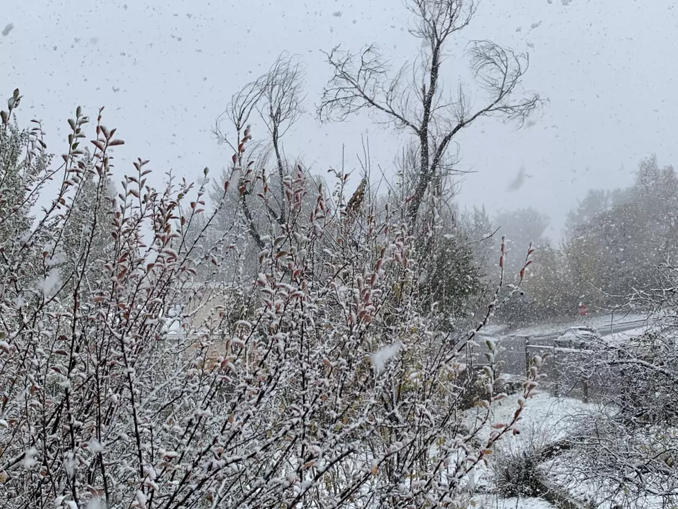
NWS: Significant Snow Accumulation Possible in Casper This Week
Casper and the rest of central Wyoming could see several inches of snow accompany a strong cold front set to move across the area beginning Tuesday night.
Precipitation and lower temperatures could make for hazardous travel Wednesday through Thursday morning on roadways including Interstate 25.
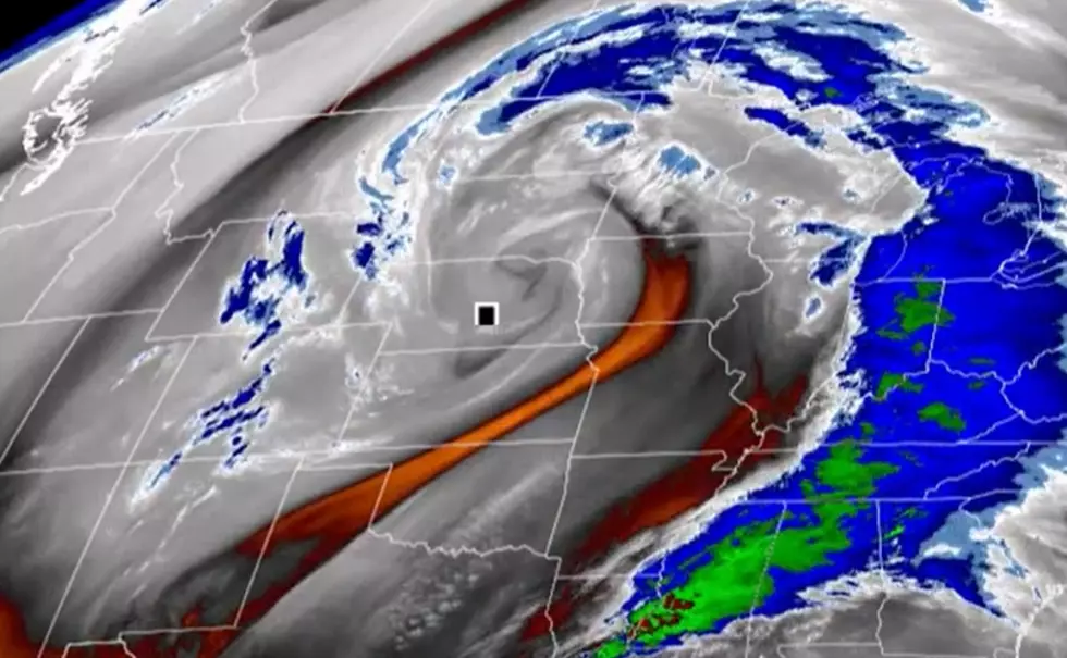
The cold front will surge south Tuesday night, with snow breaking out late that night and into Wednesday, continuing through Wednesday night. High temperatures on Wednesday will "struggle to get out of the 20s," according to a special weather statement from the National Weather Service in Riverton.
As of Monday morning, the NWS forecast called for two to four inches of new snow accumulation Wednesday, with a high near 38 F and a 90% chance of precipitation. Snow will continue that night, mainly before 11 p.m.
Thursday will see a 20% chance of snow before 11 a.m. with a high near 32 F. The low temperature Thursday night could dip to roughly 15 F.
The storm system is also predicted to impact the cities of Dubois, Riverton, Shoshoni, Lander and Jeffrey City.
The weather service asks that people look for updated forecasts as the storm system approaches.
For the latest road conditions, call 511, visit WyoRoad.info or download the Wyoming 511 app.

More From K2 Radio