What Is Wind Chill And How is It Calculated?
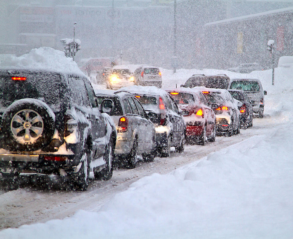
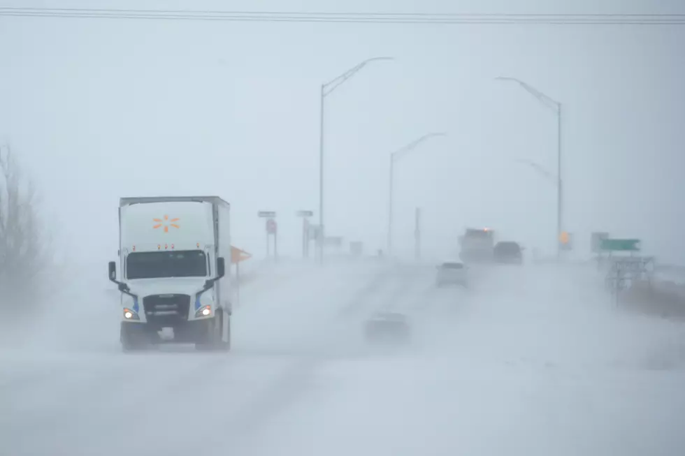
The Cheyenne Office of the National Weather Service has issued a wind chill advisory for much of southeast Wyoming until 11 a.m. Monday.
Wind chill factors in some areas are expected to hit -35 or possibly even lower.
So what does that mean? And how is it different from a temperature on a thermometer? The weather service explains wind chill this way:
''The combination of wind and low temperature in winter can be deadly. The wind chill index helps you determine when dangerous conditions develop that could lead to frostbite or hypothermia. It takes into account heat loss from the human body to its surroundings during cold and windy weather. The calculation utilizes wind speed in miles per hour and temperature in degrees Fahrenheit. For example, a temperature of minus 5 degrees occurring with a 20 mph wind gives a wind chill near minus 30 degrees (see wind chill calculation table below). This means that your body will lose heat at the same rate as it would if the air temperature were minus 30 degrees with no wind. Wind chill values near minus 25 degrees mean that frostbite is possible within 15 minutes."

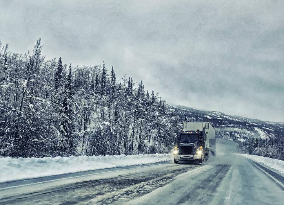
While wind chill affects people and animals, experts say it does not affect automobiles or other inanimate objects.
Below is a wind chill hart published by the Cheyenne Office of the National Weather Service. The wind chill temperatures inside the yellow box are factors that may be seen in southeast Wyoming and the Nebraska Panhandle over the next few days.
The agency is also warning about the effect of the wind chill on animals:
Who Has Played The Most Cheyenne Frontier Days Concerts?
More From K2 Radio