Possibility of Snow in Central Wyoming on Thursday
The predictions might just be right about Casper's cold season coming early.
The National Weather Service has issued a special advisory notice of expected precipitation this week:
Widespread showers and thunderstorms are expected Wednesday afternoon and evening as a weather system approaches from the northwest before tracking through the area Thursday. Some areas could receive between one-half inch to one inch of precipitation by sunset Thursday. A couple of inches of snow are possible across the mountains of northern and central Wyoming above 11,000 feet Thursday morning.
As for town, scatters and thunderstorms are expected tomorrow and possibly on Friday. The weekend looks clear right now with temps in the upper-Seventies.
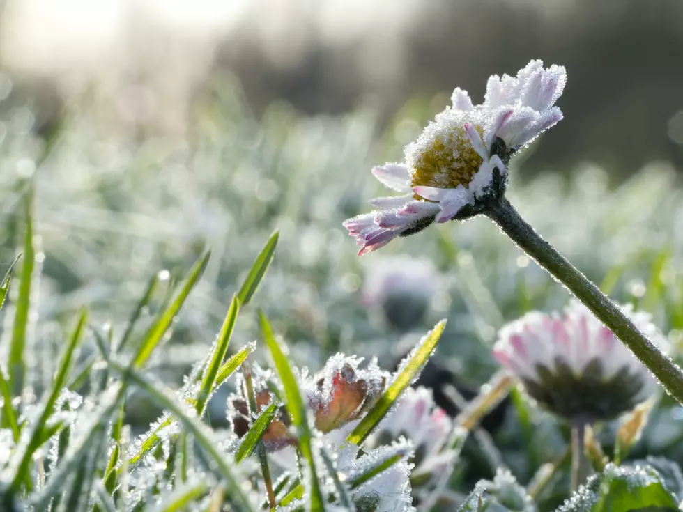
Wondering when to shut off your sprinklers?
We all know it's generally best to shut them off before temps dip below freezing at night, but when will that be this year?
The forecast isn't predicting any temps below 40 degrees for at least the rest of this week.
The National Weather Service says Casper's average first Fall freeze is Sep. 20. Yet, in 2020, Jack Frost arrived on Sep. 7, and the following year was Sep. 17.
The Farmer's Almanac averages the first frost date for Casper to be Sep. 23.
"Note that frost dates are only an estimate based on historical climate data and are not set in stone. The probability of a frost occurring after the spring frost date or before the fall frost date is 30%, which means that there is still a chance of frost occurring before or after the given dates!" states the site.
Epic Snow Day - Jan. 3rd, 2023
Gallery Credit: Kolby Fedore, Townsquare Media
More From K2 Radio