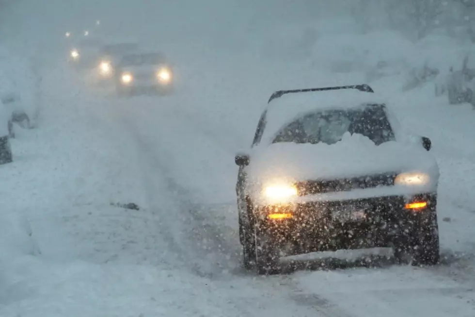
National Weather Service Updates Wyoming Storm Forecast
The National Weather Service office in Cheyenne has updated the predictions for a winter storm that has hit Wyoming.
"We cut snow totals a little bit due to drier air that was over areas east of a line from Laramie to Torrington this morning. But latest satellite imagery is showing this drier air now pushing east, so widespread snow will be on the increase. Another concern is increasing winds from the I-80 Summit, through Laramie out to Rawlins. Expecting to see 30-40 mph winds that will create areas of blowing snow and very poor visibilities along this section of I-80 through the afternoon. Very cold temperatures still expected today through Tuesday morning with dangerous windchill temperatures likely."
The map below shows the latest weather advisories. The bright pink areas are under a winter storm warning, the blue under a somewhat less severe winter weather advisory.
More From K2 Radio