Flood Watch in Effect Until Saturday Afternoon in Central-Wyoming
The National Weather Service in Riverton has issued a FLOOD WATCH IN EFFECT through Saturday afternoon.
Excessive rainfall could potentially lead to flash flooding in Casper Mountain and the lower elevations of Natrona County.
IMPACTS
Excessive runoff may result in flooding of rivers, creeks, streams, and other low-lying and flood-prone locations.
The main threat will come from localized heavy rain.
Generally, total amounts of 1 to 1.5 inches are possible today through Saturday evening. Locally higher amounts are likely with heavy rain.
PRECAUTIONARY/PREPAREDNESS ACTIONS
You should monitor later forecasts and be prepared to take action
should Flash Flood Warnings be issued.
The Red Cross says that flash floods can be sudden and violent. You may have little to no warning. If there is an immenent threat of flash flooding, make a safety plan:
- Designate a place on higher ground that you can get to quickly. Plan to move to higher ground before flooding begins.
- River floods: Know if you are in an area that is prone to river floods. Review your evacuation plan so that you can leave quickly if officials advise you to evacuate.
- Storm surge: Be prepared to evacuate immediately if local officials advise. A storm surge can cause water levels to rise quickly and flood large areas in just minutes.
- Coastal flooding: Be prepared to evacuate immediately if local officials advise. Move inland before flooding begins.
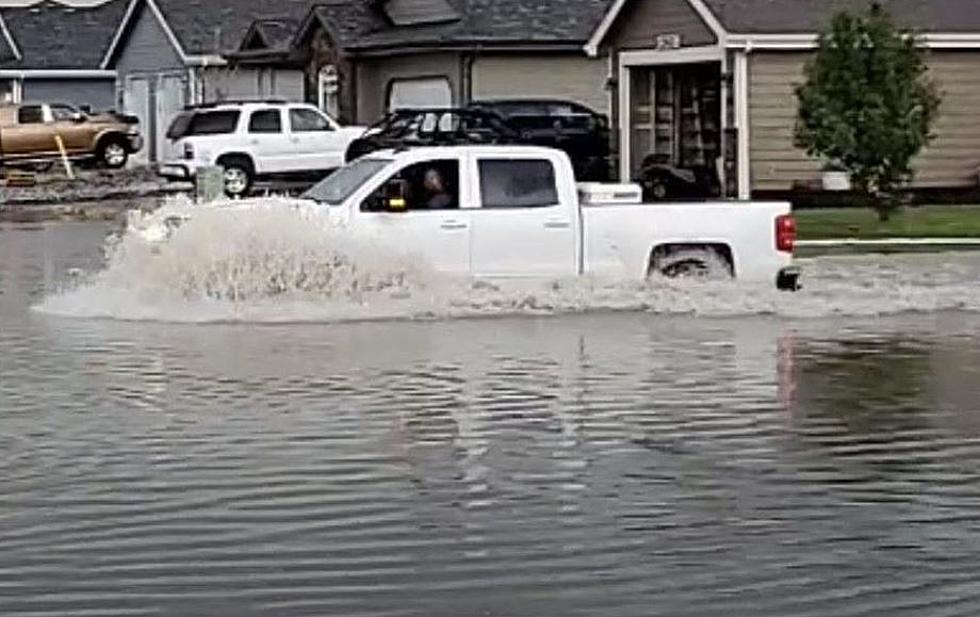
Crazy Flooding In Bar Nunn Turns Cars Into Boats
Gallery Credit: Laura Loughran Redmond, Heart of Wyoming Photography
More From K2 Radio