60 MPH Winds, Hail, Isolated Tornadoes Possible In SE Wyoming
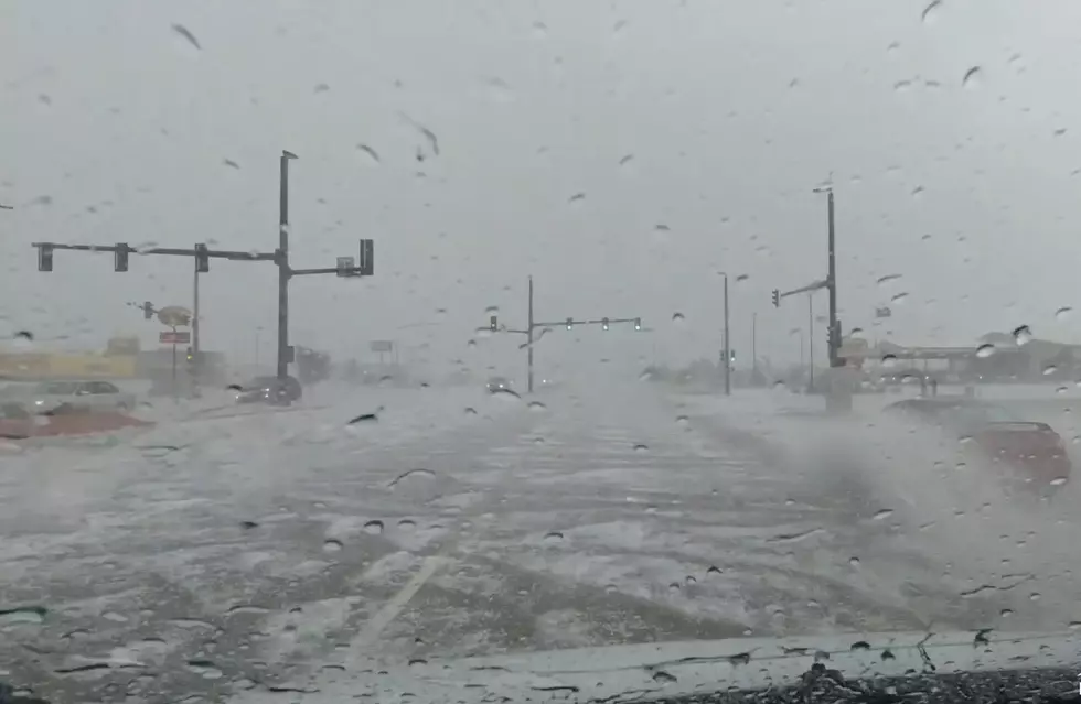
The Cheyenne Office of the National Weather Service says strong to severe thunderstorms are possible in southeast Wyoming and the Nebraska Panhandle On Thursday.
While 60-mph winds, heavy rain and hail up to one inch in diameter are the biggest threats, isolated tornadoes are also possible. The agency posted this statement on its website:
''A slight risk of severe thunderstorms is expected across portions of southeastern Wyoming and much of the western Nebraska Panhandle today. The greatest threat looks to be from about 2 PM until 8 PM. Best chance for severe weather will be generally east of Interstate 25. The main threats will be strong wind gusts, large hail up to about quarter size, an isolated tornado, frequent lightning, and locally heavy rain. Be weather aware today and have a safety plan if severe weather develops in your area. Keep up with the latest at www.weather.gov/

The Hottest and Coldest Days in Wyoming
More From K2 Radio