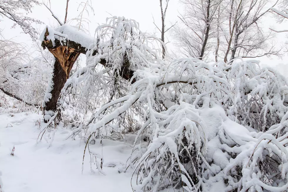
Winter Weather Advisory For Late May Storm
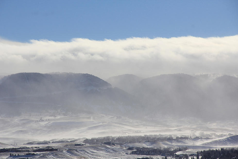
A Winter Weather Advisory has now been issued for a late season storm that's expected to impact central and northern Wyoming through Thursday night. The National Weather Service in Riverton describes the storm as "vigorous", and says it will slowly drift across the Great Basin Wednesday night and Thursday, and into the central Rockies Thursday night. They say a large amount of moisture from the eastern Pacific will combine with unseasonably cold temperatures to give significant areas of snowfall across northern and central mountains of Wyoming.
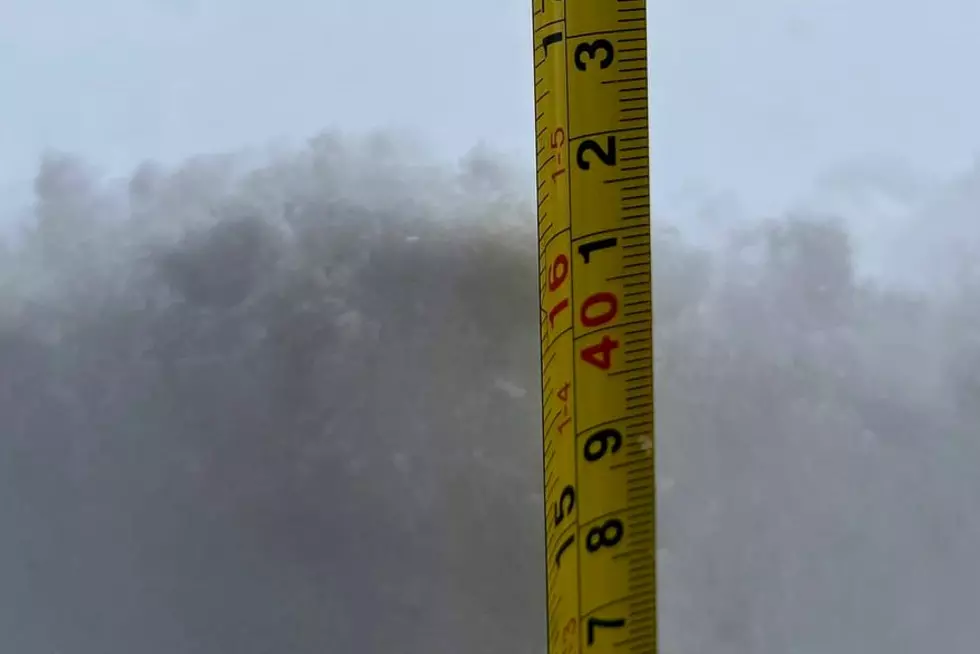
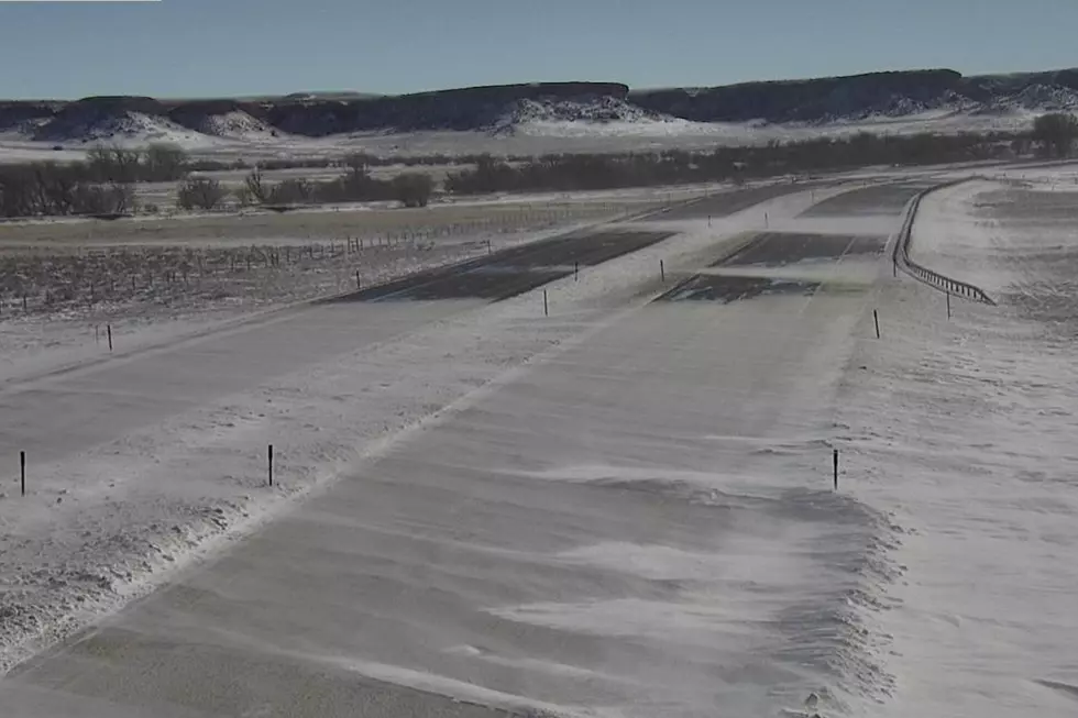
In Casper, the Winter Weather Advisory is in effect from midnight Wednesday through 6:00 Friday morning. We'll see moderate to heavy snowfall and increase Wednesday night, continuing through Thursday. Snowfall predictions currently call for three to six inches of snow, and more near and on Casper Mountain.
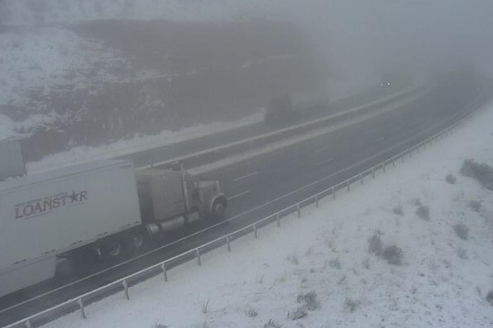
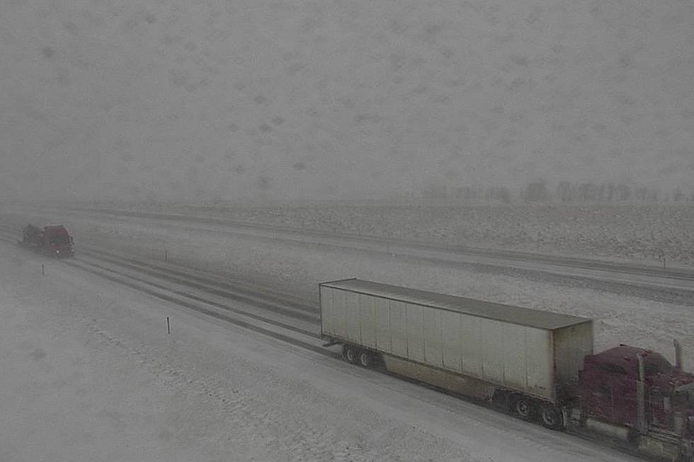
The Weather Service says highways may become slick, slushy and snow covered. That includes Interstate 25, and Highways 26 and 220. Visibility may also be reduced to under a quarter mile when the snow is heaviest.
A Winter Weather Advisory for snow means periods of snow will mostly cause travel difficulties. Officials warn to be prepared for snow covered and slick roads with limited visibilities, and caution to slow down and allow extra time to reach your destination. You can check the latest road conditions at wyoroad.info or by dialing 5 1 1.
More From K2 Radio