Winter Storm Watch for Casper; 3-5 Inches of Snow Possible
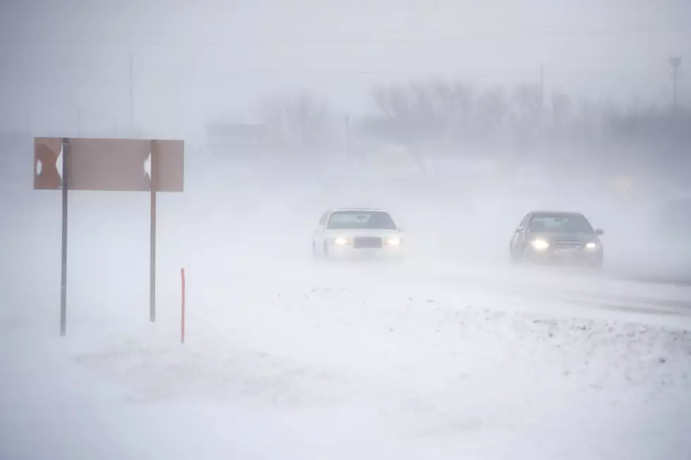
Casper and surrounding areas could see significant snow accumulation on Friday, according to the National Weather Service.
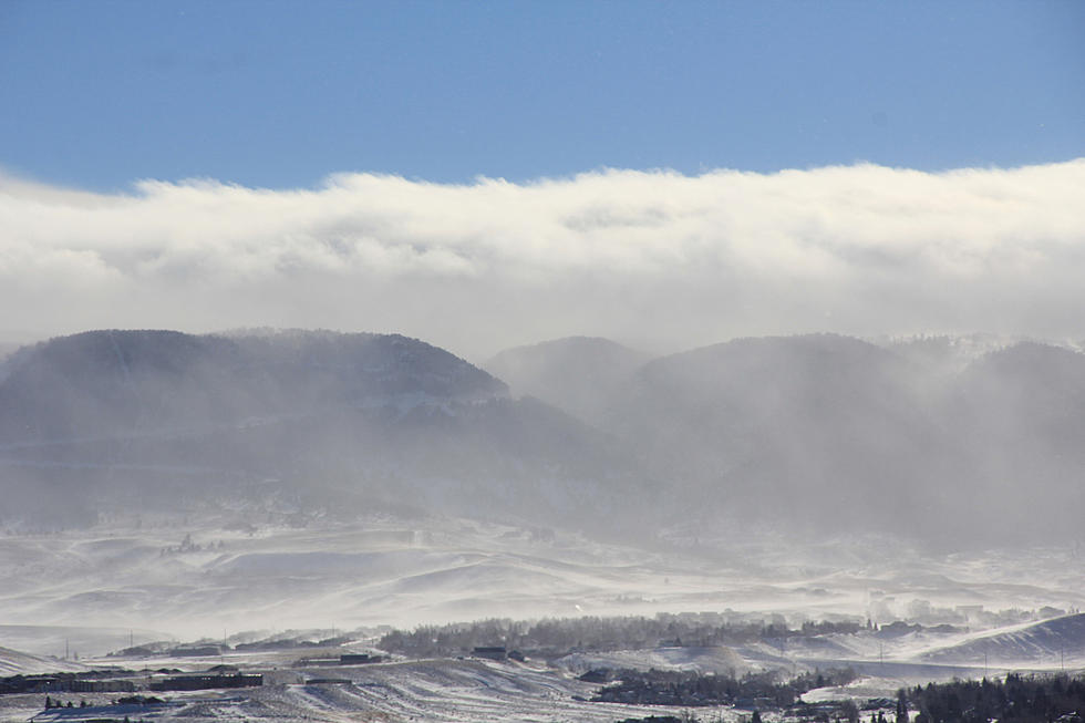
A winter storm watch posted Thursday afternoon will go into effect Friday morning and expire late Friday night. It includes Casper and Jeffrey City, as well as the lower elevations of Natrona County, Casper Mountain, the Green Mountains and Rattlesnake Range.
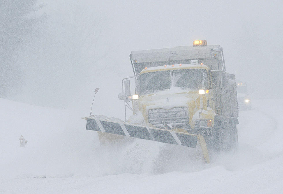
In those areas, the National Weather Service says three to five inches of new snow are possible, with wind gusts up to 35 mph.
The incoming snowfall is expected to impact travel, and commuters are advised to plan for slippery road conditions.
"Freezing slush masked by additional newly fallen snow on top of any ice could pose an increased hazard," the weather service. "The hazardous conditions could impact the evening commute."
More From K2 Radio