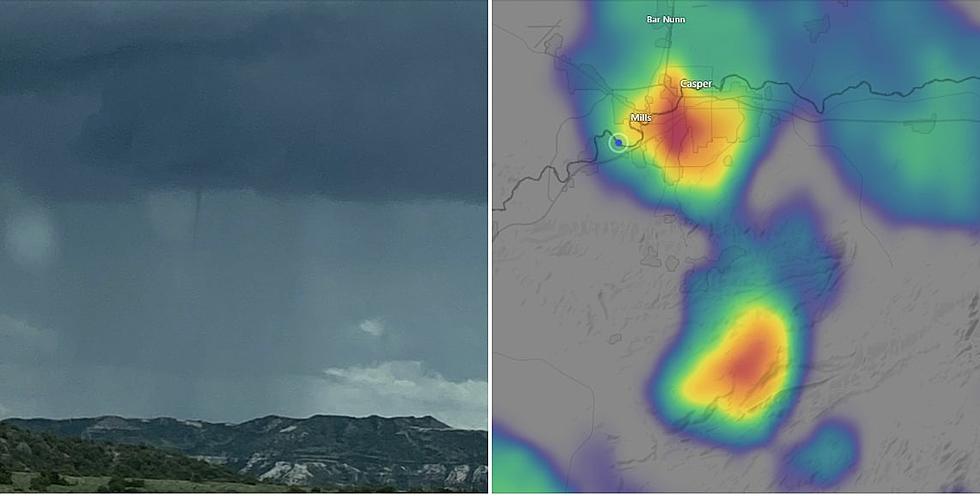
Severe Thunderstorm Warning for Northern Natrona, Southern Johnson Counties
A severe thunderstorm warning is in effect for part of northeastern Natrona County and south-central Johnson County until 2:15 p.m. Thursday.
The storm was located 8 miles southeast of Hole in the Wall at 1:26 p.m. It is moving east at 20 mph.
The National Weather Service warns of 60-mph winds and quarter-size hail.
Hail damage to vehicles in the area is expected, as is wind damage to roofs, siding and trees.
The storm will stay over mainly rural areas of Natrona and Johnson Counties, including I-25 between mile markers 217 and 240.
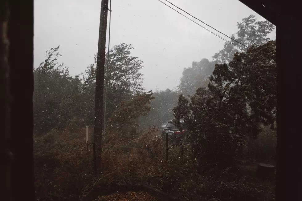
Torrential rainfall is occurring with the storm and may lead to flash flooding, the NWS says. Do not drive through flooded roadways.
Anyone in the warning area should move to an interior room on the lowest floor of a building.

10 Things You Should Never Say To Someone From Wyoming
More From K2 Radio