NWS: Winter Storm Watch for Casper; 5-10 Inches of Snow Possible
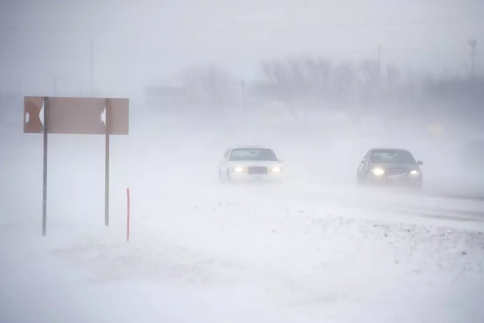
Much of Wyoming, including Casper, is set to see significant snow accumulations resulting from a strong storm system set to move through the region Wednesday and Thursday.
Casper could see five to 10 inches of snowfall, and Casper Mountain could see 10-15 inches of accumulation, according to a winter storm watch posted by the National Weather Service on Monday. The watch is in effect beginning at 6 a.m. Wednesday and ending at 6 a.m. Thursday.
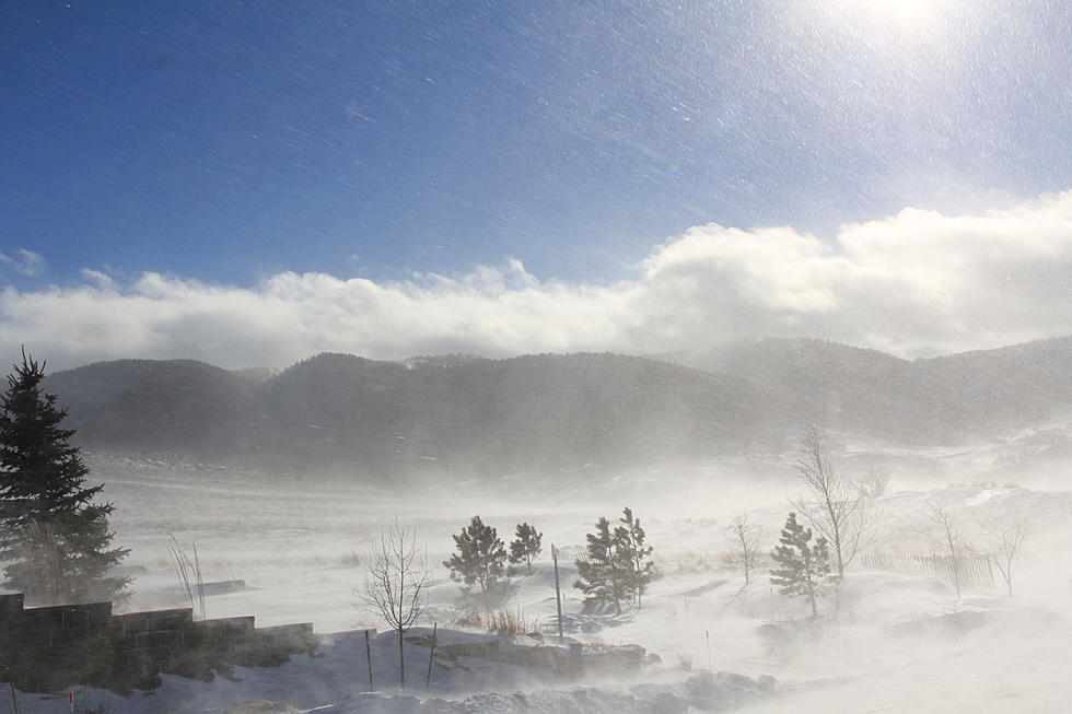
Winds could gust up to 40 mph in the lower elevations of Natrona County as well as on Casper Mountain.
Travel is expected to be difficult as the storm moves through. Interstate 25 is expected to see significantly reduced visibility in some areas, with hazardous travel conditions likely impacting the morning or evening commute on Wednesday.
Southeastern Wyoming is expected to see the most severe storm impact, at least as far as the Cowboy State is concerned. Blizzard warnings were posted for most of Laramie County and all of Goshen County on Monday.
Albany, Carbon, Converse, Platte and Niobrara Counties have been upgraded from a winter storm watch to a winter storm warning, with eight to 13 inches of new snow expected in central and southwestern Carbon County.
More From K2 Radio