Conditions Ease Slightly for Road Travel; High Winds Wreak Havoc
Sometimes the best course of action with a problem like bad weather is to take no course at all.
"My advice today would be, if you don't have to travel, don't; especially if you're trying to pull a camper or a boat or something like that or trying to move a small trailer," Wyoming Department of Transportation spokesman Jeff Goetz said.
"It's just probably best not to do it today," Goetz said. "It's simply too windy."
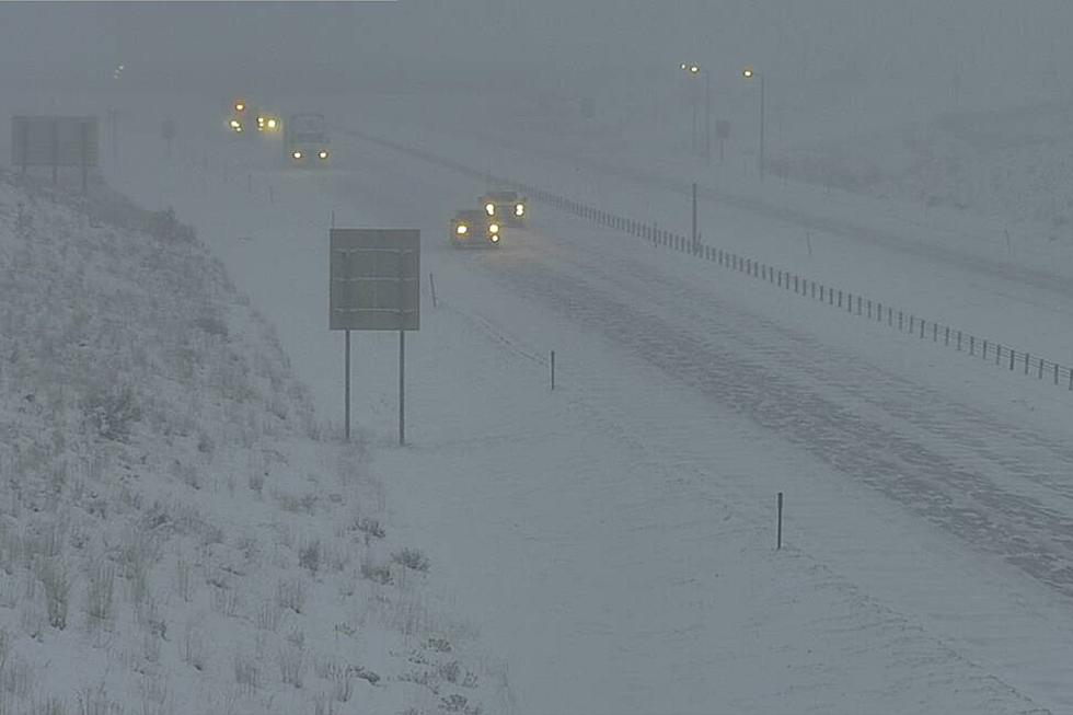
Throughout Monday, WYDOT kept a lot of roads closed including Interstate 80 from Cheyenne to Rawlins, he said. "They're reporting some 60 mph gusts."
Not to be outdone, Muddy Gap clocked a gust at 81 mph, Goetz said.
As of 5 p.m., most highways are open.
However, I-90 eastbound is closed near Sundance at milepost 181 because of a crash. I-90 also is closed eastbound between Moorcroft and Sundance because of a crash at milepost 167.
And U.S. Highway 26/89/191 through Jackson Hole is closed between Moran Junction and Moose.
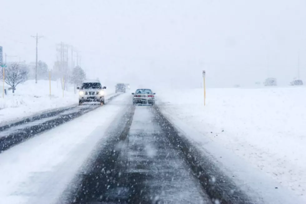
For many of the roads that are open, WYDOT warns of a variety of hazards including high winds, black ice, falling rock, or no unnecessary travel.
Goetz said he doesn't know when WYDOT will lift these travel restrictions. He urges motorists to check wyoroad.info about road conditions. He also urges motorists to look at the webcams on the website for real time images.
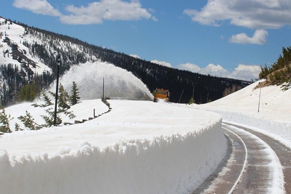
Plow crews have seen a lot of drifting in open spaces, Goetz said. Problem areas include U.S. Highway 20-26 from Casper to Shoshoni, Wyoming Highway 487 from Shirley Rim to Medicine Bow, and U.S. Highway 287 to Rawlins.
The drifting may persist, said National Weather Service meteorologist Jason Anglin.
Weather patterns over the Dakotas and from California and Nevada are causing havoc in Wyoming, Anglin said.
"Those tight pressure gradients are causing some pretty strong winds across the cowboy state today," he said. "Some areas could see wind gusts over 60 mph and even higher in some areas even over 70."
In the western part of the state, the weather service has issued a winter storm warning, Anglin said.
However, the temperatures haven't been too extreme, so wind chills will be in the mid- to upper-teens to the low-twenties, he said.
The high wind gusts will persist through today, and will fade Wednesday, Anglin said.
Later this week, he said a weak front will come through with some scattered light snow.
Temperatures will be normal if not slightly above normal. For Casper, that means the mid-teens to the mid-thirties, Anglin said.
More From K2 Radio