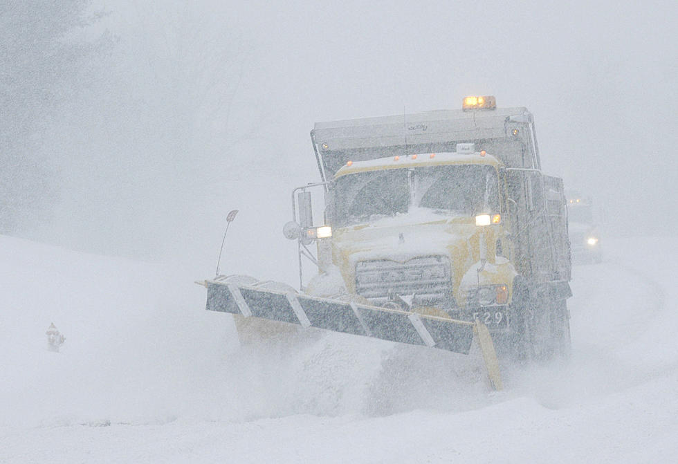
Winter Storm Watch: 9-12 Inches Possible In Casper
UPDATE: This storm has been upgraded to a winter storm warning. Get the latest info here.
-----------------------------------------------------------------------------------------------------------
A winter storm watch has been issued for Natrona County from Wednesday evening to Friday morning - 9 to 12 inches of accumulation possible.
Winter storm watch from 11:00 PM Wednesday until 11:00 AM Friday.
The National Weather Service in Riverton has issued a winter storm watch, which is in effect from Wednesday evening through Friday morning.
Snow will develop Wednesday night and may become heavy at times after 2:00 AM. Snow will be heavy at times and will continue through the day Thursday, Thursday night and through mid day Friday. The heaviest snowfall will likely occur between 2:00 AM Wednesday night through 11:00 AM Thursday morning.
Snowfall Accumulation: Ranging from up to 2 feet on Casper Mountain, up to a foot and a half in the vicinity of the city of Casper and 9 to 12 inches across northern and western Natrona County
Main Impact: Roads may become slick and snow covered. Considerable blowing and drifting snow could make travel difficult to impossible. The visibility may become significantly reduced in blowing snow.
Precautionary/Preparedness Actions: A winter storm watch means there is a potential for significant snow and/or blowing snow that may impact travel.
More From K2 Radio