Winter Storm System To Hit Wyoming Today Through Thursday
Winter Storm Warning is in effect from noon today through 9am Thursday morning for north central Wyoming including the Sheridan, Ranchester, the Big Horn Mountains including Burgess Junction. 4 to 8 inches of snow is expected with around a foot across the Big Horns.
Winter Storm Warning the northeast Wyoming including the Sundance and Four Corners areas from 5pm this evening to 9am Thursday. 4 to 9 inches is expected.
Winter Storm Warning in effect for the Absaroka Mountains from 3pm this afternoon through 9am Thursday morning. Around a foot of snow is expected along the north side of the Absaroka Ranges.Locally Heavier amounts are possible.
Winter Storm Warning is in effect from 6pm this evening to 3pm Thursday afternoon for the Rawlins, Sinclair, Hanna, Baggs, Centennial, Woods Landing areas. 3 to 6 inches of snow is expected, with amounts up to 12 inches along the north facing slopes of the Snowy and Sierra Madre Ranges.
Winter Storm Warning for the Cheyenne, Laramie, Vedawoo, Buford, Pumpkin Vine, Harriman, Whitaker,Burns, Carpenter, Albin and Pine Bluffs areas from 11pm this evening to 3pm Thursday. 3 to 7 inches of snow is expected.Highest over the Laramie Range and the Laramie Valley.
Winter Storm Watch in effect for the Wind River Mountains from Wednesday afternoon through Thursday afternoon. 4 to 8 inches are possible over the eastern slopes and south pass.
Winter Storm Watch in effect from this evening through Thursday afternoon for the Green Mountains and Rattlesnake Range, including Jeffrey City. 1 to 3 inches with 3 to 4inches along Beaver Rim.
Winter Storm Watch for the Rock Springs, Green River and Wamsutter areas from this evening through Thursday afternoon. 1 to 3 inches with some higher amounts possible across the mountains.
Winter Weather Advisory remains in effect from Noon today to 8am Thursday for the Southeast Big Horn Mountains. Snow accumulations of 4 to 8 inches possible.
Winter Weather Advisory remains in effect from noon today to 8am Thursday for the Buffalo area. 1 to 3 inches of snow is expected.
Winter Weather Advisory in effect for the Cody Foothills and northern Big Horn Basin including Powell, Cody, Meeteetse, Lovell, Greybull and Basin areas. 1 to 3 inches.
Winter Weather Advisory remains in effect for the Gillette, Wright, Moorcroft and Hulett areas from 5pm this evening until 5am Thursday. 1 to 3 inches of snow is expected.
Winter Weather Advisory in effect from 11pm today until 3pm Thursday for the Glendo, Wheatland, Chugwater, Guernsey and Torrington areas. 1 to 3 inches, mainly south of the North Platte River.
High Wind Watch in effect from this evening through Thursday morning for the Pinedale, LaBarge, Big Piney and Farson areas. Northeast winds of 40 to 50mph with gusts of 60 to 65mph.
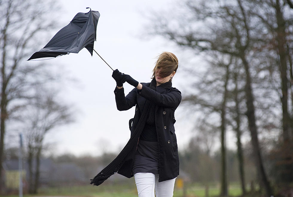
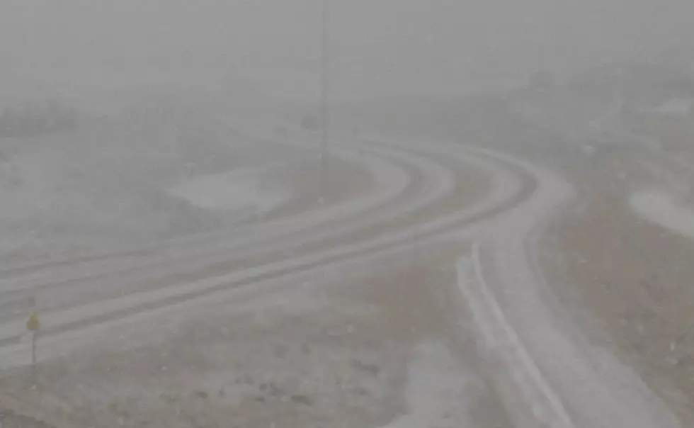
All areas can expect gusty northerly winds at 30-50 with some higher gusts to 60mph causing blowing and drifting snow along with visibility problems.
More From K2 Radio