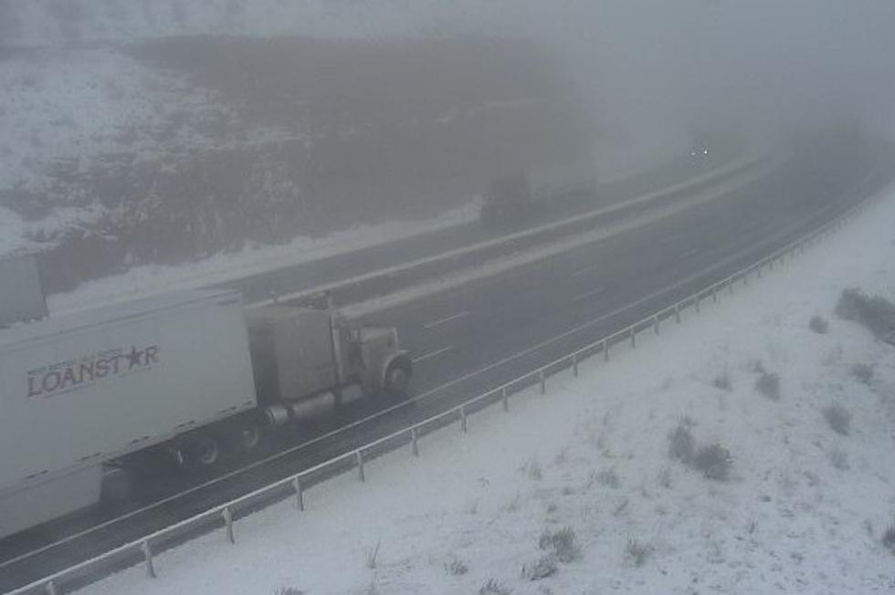
Winter Storm Expected to Impact Travel in SE Wyo. Starting Sunday
Another blast of wintry weather is expected to hit southeast Wyoming early next week.
The National Weather Service in Cheyenne issued the following statement Wednesday morning:

Here's a look at the southeast Wyoming and Nebraska Panhandle forecast through the weekend. Have a chance for light snowshowers Thursday morning as a weak low pressure system moves through the area. Best chances will be over the northern Panhandle to maybe Lusk and our western mountains. Accumulations will be on the light side. Friday and Saturday, we expect warming temperatures and dry conditions. Our wind prone areas (Arlington, Bordeaux, south Laramie Range) likely to see strong winds Saturday and we'll likely have High Wind Warnings posted for Saturday for these areas. The weather turns south Sunday as a strong cold front moves into the area from the northwest. Along and behind the front, we're expecting snow chances to pick up. Heavy snow expected Sunday late afternoon through Monday morning for most areas. Travel likely to be impacted significantly during this time with poor visibility and snow covered roads. If planning travel through southeast Wyoming and Nebraska Panhandle Sunday and Monday, stay tuned to later updates in the forecast. We'll keep you informed!

More From K2 Radio