NWS Cheyenne: Pleasant Today, But Downright Hot by Week’s End
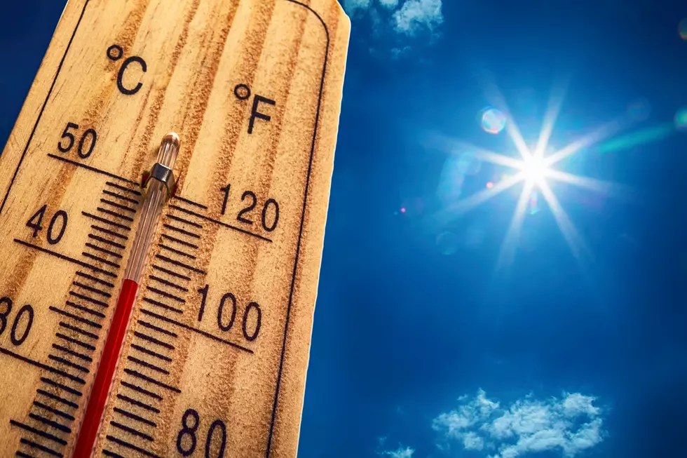
The end of the week is going to be downright hot, according to the National Weather Service in Cheyenne.
"Looking at temperatures near the century mark in the Nebraska Panhandle, with upper 80s/low 90s across southeast Wyoming, both Friday and Saturday," the NWS said.
High temperatures for June usually trend in the mid-70s across southeast Wyoming and the low-80s across western Nebraska.

The NWS says the good news is that Sunday will bring chances for showers and storms to just about everyone, as well as cooler temperatures.
The NWS issued the following weather stories early Wednesday morning:
15/240AM: Greetings! Here's a look at the forecast for southeast Wyoming and Nebraska Panhandle for your Wednesday. We have some pesky showers across eastern Laramie County, into the southern Nebraska Panhandle early this morning. Expect these showers to shift east into central Nebraska by daybreak. Clouds will decrease through the morning hours. Sunny, dry and breezy for this afternoon. Highs today look to range from 65 at Shirley Basin, to 84 at Sidney. Clear skies tonight, with decreasing west winds after sunset. Overnight lows will range from 39 at Saratoga, to 50 at Sidney. Enjoy!
15/2AM: Greetings! Temperatures will be on the increase across southeast Wyoming and Nebraska Panhandle to end the week. Looking at temperatures near the century mark in the Nebraska Panhandle, with upper 80s/low 90s across southeast Wyoming, both Friday and Saturday. We start to see some moisture moving into the area from the southwest Friday that will bring increasing chances for showers and thunderstorms, mainly for the mountains to our west. Moisture becomes more widespread Saturday and especially Sunday. Sunday will bring chances for showers and storms to just about everyone, as well as cooler temperatures. That's good news! Stay tuned!
LOOK: The most extreme temperatures in the history of every state
More From K2 Radio