It’s Cold in Casper Now, But It’s Probably Going to Get Worse
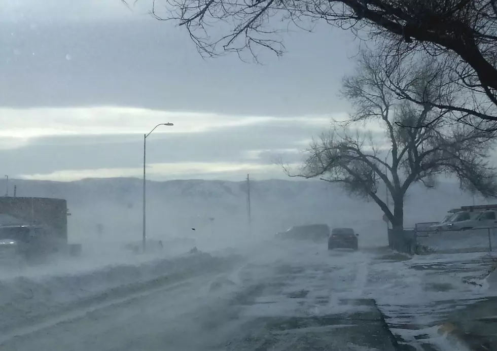
While frigid temperatures have made their way to Casper for the better part of a week now, the National Weather Service in Riverton says it's going to stick around at least through the weekend.
And it may get even colder.
According to the weather service, as of 1:30 p.m. Thursday, -8 in Casper, but with the wind chill, it feels more like a balmy -28 outside.

Closing out the week and heading into the weekend, more snow and dangerous wind chills are expected to hang around in the area.
The National Weather Service says there is a 50% chance of snow Thursday night with lows dipping down to -35. That, coupled with wind gusts up to 20 miles per hour, could mean wind chills of -35.
Friday is expected to just barely break 0 degrees, with a high of 1 predicted.
That night, temperatures are expected to drop to roughly -9 with wind chill values as low as -20. It's also expected to snow, with a 50 percent chance.
Snow is expected to continue into Saturday with a high of 4. Gusts as high as 21 mph could bring more wind chills.
Then on Sunday, the temperature is expected to remain below 0 all day, withi a high of -4. That night, it could get as low as -12.
DISCOVER: Your Wyoming Zodiac Sign Here
More From K2 Radio