High Wind Watches, Warnings in Effect for Much of Wyoming on Monday
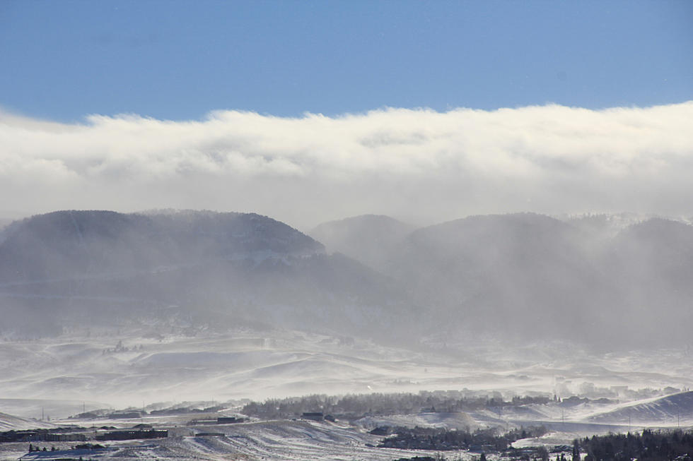
High wind warnings and watches are in effect for much of Wyoming on Monday due to an approaching cold front from the west, according to the Riverton office of the National Weather Service.
In Natrona County, the high wind warning is in effect from midnight to 6 p.m., and a chance of rain and snow is possible.
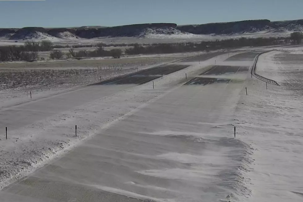
The forecasted northwest winds 30 to 40 mph with gusts 60 to 65 mph will pose blow-over risks for high-profile vehicles.
In northeast Wyoming into western South Dakota, the gusty winds and low humidity will bring critical fire conditions to very high or extreme levels because of the very low moisture content of grasses and other dry organic material on the ground.
If fires occur, they will spread rapidly and show erratic behavior. Outdoor burning is not recommended, according to the National Weather Service.
The high winds may blow down large trees and damage roofs, small outbuildings, and signs. Power outages are possible. Travel could be difficult, especially for high profile vehicles. Strong winds can cause blowing dust, reduced visibility, and flying debris.
The National Weather Service advises that persons outdoors should watch for flying or falling objects that may cause injury.
Motorists should be prepared for sudden wind gusts that can cause them to lose control of their vehicles, especially on open stretches, or as they approach the crest of hills.
Consult the National Weather Service's website and the Wyoming Department of Transportation's website for current weather and road conditions.

The Best Small Towns to Live in Across America
LOOK: Here are the best small towns to live in across America
More From K2 Radio