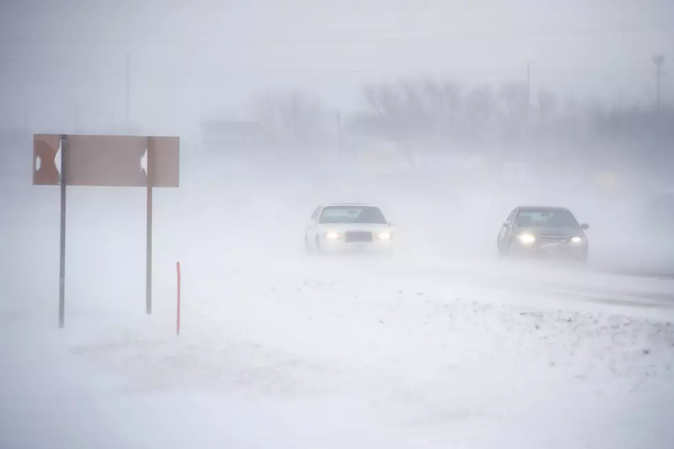
Wind And Snow To Hit The Cowboy State
The National Weather Service has issued High Wind Watches and Winter Storm Watches for portions of Wyoming starting tonight and into Thursday. The Casper area will see the high winds starting tonight, with the western portions of the state getting the snow.
High Wind Watch for the Casper area from late tonight through Thursday morning. Southwest wind sustained at 40mph with gusts to 60mph is possible at the peak of the wind.
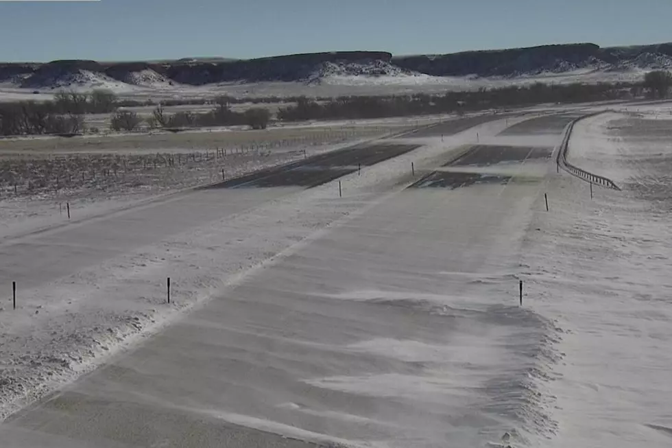
High Wind Watch for the Green Mountains, Rattlesnake Range including Jeffrey City and the Cody Foothills including the Cody and Meeteetse areas from late tonight through Thursday morning. West winds at 40mph with gusts to 60mph. Local wind gusts to 75mph could occur around Clark.
High Wind Watch remains in effect from Wednesday morning through Thursday evening southeast Wyoming. Sustained winds of 30 to 45mph with frequent gusts to around 60mph.
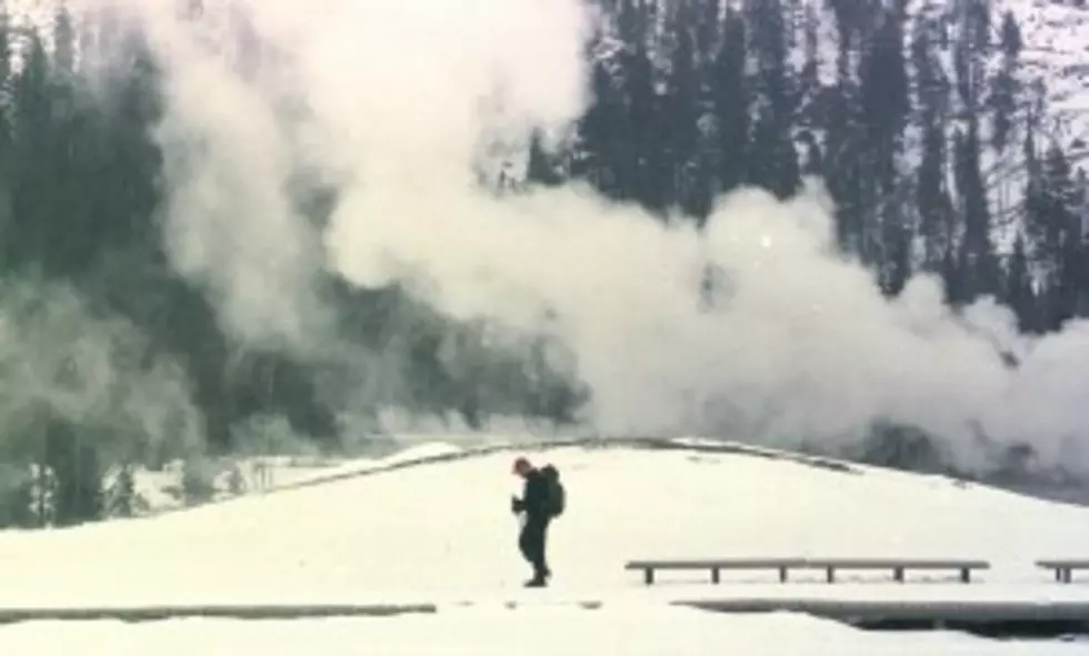
Winter Storm Watch remains in effect for portions of western Wyoming from Wednesday morning through Thursday afternoon. This includes Yellowstone Park, Lake, Mammoth and Old Faithful, the Jackson area, the Absaroka Mountains, Afton, Alpine and Thayne, and in the Pinedale area. Generally 4 to 10 inches of snow in the lower elevations with 10 to 20 inches in the mountains. West winds at 20 to 35mph are also expected with the snow.
More From K2 Radio