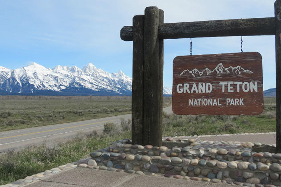
Will Teton County See More Episodes like the Big Fill Landslide in the Future? Probably, Yes.
A new study by the Wyoming State Geological Survey (WSGS) identifies areas most susceptible to deep-seated landslides in central and southern Teton County. The resulting map, high-resolution digital data, and technical report provide critical tools for planners, landowners, and emergency managers working to reduce landslide risk in one of the state’s most geologically active regions.
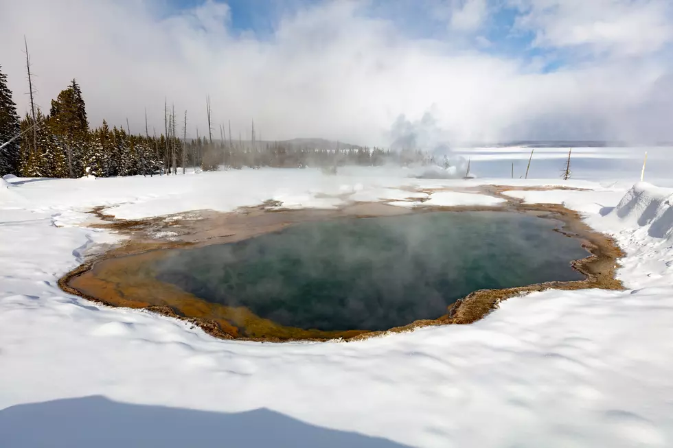
Landslides occur regularly across Wyoming, and Teton County has experienced some of the most damaging events in the state’s history.
From the Gros Ventre Slide in 1925 to more recent incidents like the Budge Drive and Big Fill landslides, these events have disrupted infrastructure and caused significant economic loss.
Susceptibility maps help communities plan for future risks by identifying where landslides are more likely.
This new study provides that information at an unprecedented level of detail for the region.
“Teton County is one of the most landslide-prone parts of the state,” said WSGS geologist James Mauch, lead author of the report. “We saw an opportunity to provide decision-makers and the public with some fundamental information on where landslides are most likely to occur, thanks to the unique availability of input datasets like 1:24,000-scale geologic mapping and lidar data.”
The Open File Report, Susceptibility to Deep-Seated Landslides in Central and Southern Teton County, Wyoming, was coauthored by Mauch and WSGS geohydrologist James Stafford. The study uses detailed geologic and lidar elevation data to model landslide susceptibility in a 10-meter raster grid—one of the highest resolutions available for this type of mapping in Wyoming.
To generate the model, WSGS scientists analyzed rock strength and slope angle using data compiled from 57 geologic maps and high-resolution elevation models. The susceptibility raster was then validated against an independent inventory of more than 2,100 mapped landslides. The final model classifies roughly 84 percent of the study area as at least marginally susceptible to deep-seated landslides —a result consistent with lower resolution datasets and that reflects the abundance of landslide-prone terrain in Teton County. The new map reveals that landslide susceptibility can vary significantly across short distances, especially in mountainous terrain where slope angle and geologic conditions are highly variable.
“This is an excellent example of how geoscience can support public safety and smart land-use decisions,” said Dr. Erin Campbell, WSGS Director and State Geologist. “Landslide susceptibility maps are a powerful way to translate geologic information into a product with practical applications for property owners, land managers, and elected officials. The Teton County map aligns well with the WSGS’s mission of characterizing and informing the public about geologic hazards.”
The report also includes a technical discussion of model limitations, which helps users understand the map’s appropriate scale and scope. For example, the model specifically accounts for deep-seated landslides, and it excludes shallow movement types like rockfalls and debris flows. Similarly, as with all susceptibility maps, the dataset does not consider landslide magnitude, frequency, or the influence of external triggering mechanisms like seismic shaking or heavy precipitation.
The report, map plate, and GIS data are available to download for free from the WSGS website.
This Wyoming Mansion Has the Tetons, Supercars and a Moose
Gallery Credit: Gregory Prugh, Margi Barrie,Prugh Real Estate LLC, Realtor.com
$65 Million Camp Teton Dude Ranch Most Expensive in Wyoming
Gallery Credit: Graham-Faupel-Mendenhall, Compass Real Estate, Robert DesLauriers, Jackson Hole Sotheby's International Realty, Realtor.com
More From K2 Radio