NWS: Snow Beginning Tonight in Wyoming Mountains
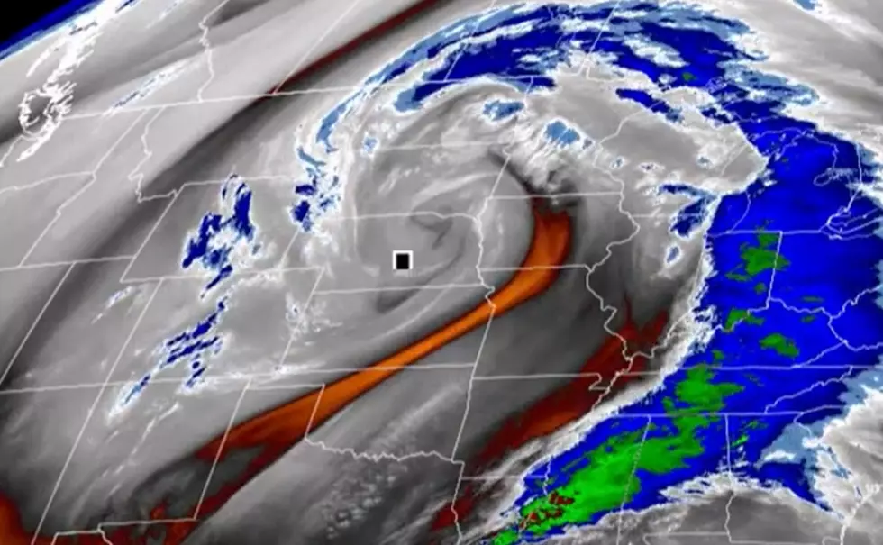
What forecasters are describing as a potent early fall storm is set to bring significant amounts of precipitation, including snow, to some of Wyoming's mountain ranges through the middle of this week.
Beginning late Tuesday night and continuing through Wednesday evening, rain is expected to turn to snow above 8,000 feet, according to a special weather statement from the National Weather Service in Riverton.
The greatest snow accumulation is possible for the Wind River, Teton and Gros Ventre Mountains. One to three inches of snow could accumulate above 8,000 feet, but four to 10 inches could pile up above 10,000 feet.
Also in the storm's path are the Bighorn, Salt River, Wyoming and Absaroka Mountains, as well as parts of Yellowstone National Park.
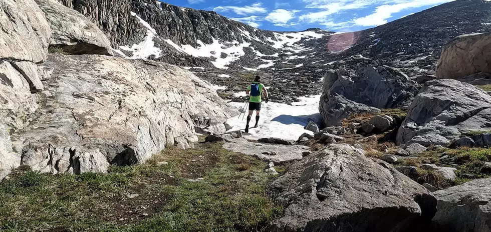
Hikers and campers headed into the impacted areas should be prepared for winter conditions.
More From K2 Radio