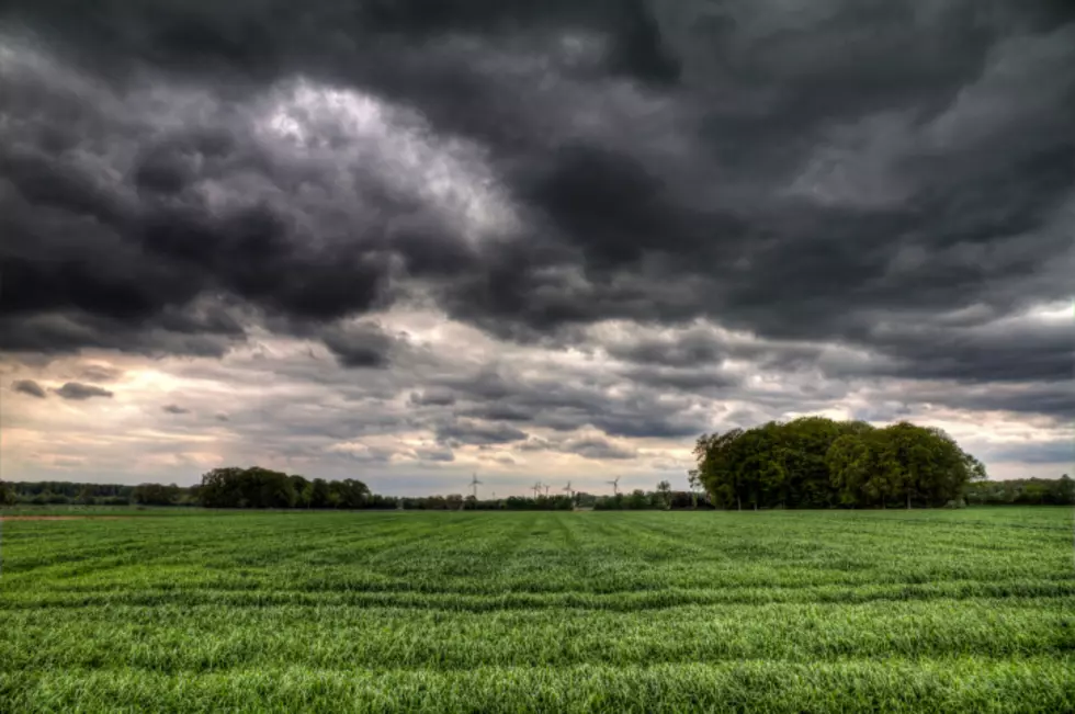
Scattered Showers & Thunderstorms Continue Today
A large ridge of high pressure will build over western portions of the nation today and will remained settled over the region through the start of the weekend. As a result, high pressure will also be settled over western Wyoming during this time, but a northwesterly flow will set up over central and eastern parts of Wyoming. For western Wyoming, expect minimal cloudiness, warmer than normal temperatures, and isolated showers and thunderstorms today, Friday and Saturday. Daytime highs will be in the 80's and 90's. For the rest of Wyoming, expect partly to mostly sunny skies and a better chance for showers and thunderstorms through Independence Day. Any storms that develop could be strong to severe and capable of producing of hail, gusty winds, lots of lightning, and heavy rain. Temperatures will be a few degrees cooler and closer to average today and Friday, with daytime highs in the mid 70's to mid 80's. We will then see temperatures become warmer and slightly above normal on Saturday, with daytime highs in the 80's to lower 90's. A cool front and weather system will bring cooler and even more unsettled weather to the region late Sunday into Monday.
More From K2 Radio


![Summertime Trick Helps You Test if it’s Too Hot to Walk Your Dog [VIDEO]](http://townsquare.media/site/102/files/2015/07/dogs-Dan-Kitwood-getty.jpg?w=980&q=75)