Sunny, Cool, & Mainly Dry Today, Strong Winds Likely Across Central & Eastern Wyoming
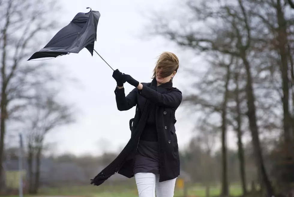
The state of Wyoming will be in between weather systems today. Expect sunny to mostly sunny skies, seasonably cool temperatures, and mainly dry weather conditions statewide. Daytime highs will stay in the upper 40's and 50's. Winds, however, will be breezy to strong. For central and eastern Wyoming, expect wind gusts between 35 and 50 mph, with some occasional higher gusting. A low pressure system will then move across the region on Thursday. Scattered rain and snow showers will develop across far western Wyoming early on Thursday morning and will continue into the early overnight hours. Roads will stay mainly wet for lower elevations, but will have the potential to become slick, especially by the evening and overnight hours. Rain will continue to develop across lower elevations of central and southern Wyoming during the afternoon hours and will then mix with and turn to light snow overnight. Roads will stay wet during the day and will then become slick and icy by the evening and overnight hours as temperatures drop. Higher elevations and mountain passes, including the Summit over I-80 and WY-28 near South Pass, will see wet snow during the day and overnight. Slick and icy roads will be likely across these regions. For northeastern Wyoming, there will be only a small chance for rain and snow. Expect only isolated wet spots during the day, which could freeze and become icy overnight. Temperatures will also be cool, but close to average. Our latest weather system quickly moves out of the region on Friday and higher pressure will then build over much of the state. Slick and icy roads will be possible during the morning hours, especially over mountain passes and southeastern portions of the state. Otherwise, expect partially clearing skies and improving weather conditions.
More From K2 Radio