Strong Winds for Much of the State Today with Scattered Rain/Snow Showers
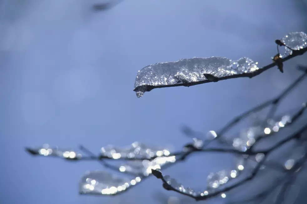
A cold front pushes through Wyoming today, bringing stronger winds and scattered rain/snow showers to many areas. Expect the strongest winds to come with isolated rain or snow showers. The best chance for snow will be across the western mountains, higher terrain areas (including I-80 Arlington to Cheyenne) and into the northeast corner of the state late today and tonight. Watch for a few slick spots on the roads into this evening. Temperatures today will rise into the 40's and 50's for most areas. Winds will be strongest this afternoon, with gusting across central and southeast regions between 50 and 60 mph. Gusting up to 65 mph will be possible but infrequent.
More From K2 Radio