Much colder, areas of snow to impact travel and livestock [VIDEO]
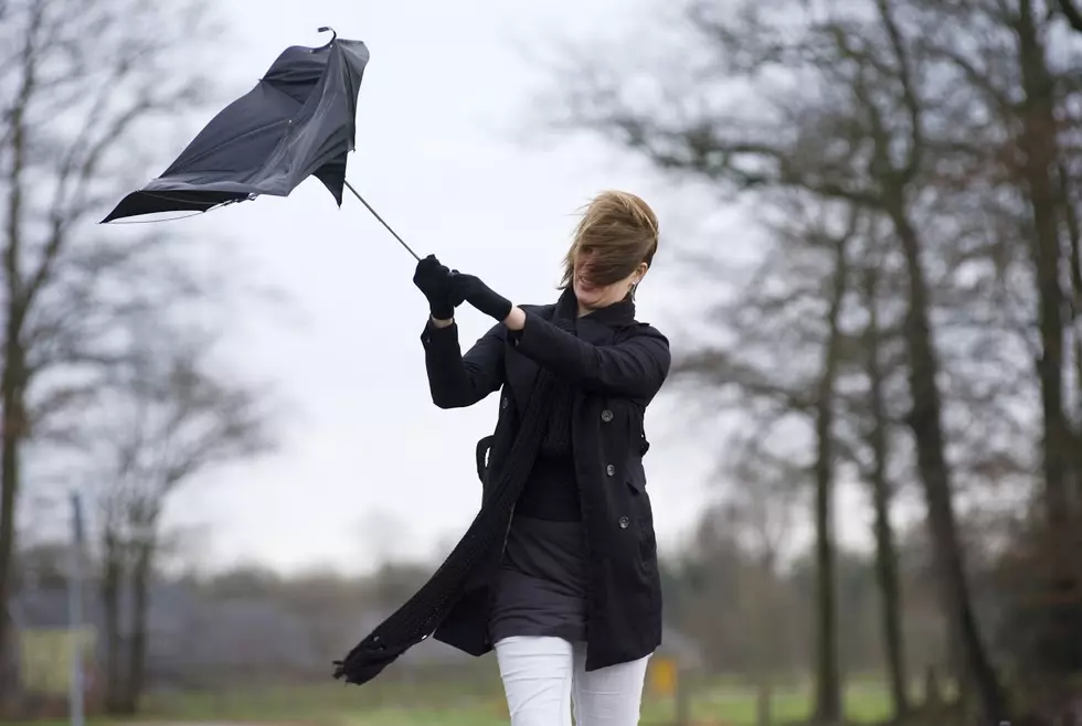
A low pressure system and cold front will continue to slowly move across the state of Wyoming for the rest of today and Saturday. Expect cloudy to mostly cloudy skies and breezy to gusty winds today. Temperatures will be significantly colder today, but it will still be a few degrees above normal. Highs will be in the 30's to lower 40's. Even colder and near or slightly below normal temperatures will then arrive on Saturday, with highs in the 20's and 30's. Light snow will continue across western and south-central Wyoming through mid-day today, while there will be a smaller chance for snow elsewhere. Watch out for some slick and icy roads. Snow will then begin to intensify over south-central and southeastern portions of the state during the late afternoon/evening hours and will continue through the day on Saturday. Reduced visibility with slick and icy roads will be likely on I-25 (Colorado state line to Casper), I-80 (Rawlins to Nebraska state line), US-85 (Colorado state line to Lusk), and US-287/WY-220 (Rawlins to Casper). Snow-packed roads could also develop over the higher elevations of I-80, mainly over the Summit and near Arlington/Elk Mountain. Elsewhere, expect a smaller chance for snow with only isolated wet to slick spots. We will then be in between weather systems on Sunday. Expect partly to mostly sunny skies, warmer temperatures, and mainly dry weather conditions. However, winds will increase and become strong.
More From K2 Radio


![Areas of snow Friday and Saturday and much colder! [VIDEO]](http://townsquare.media/site/101/files/2015/02/snowplow.jpg?w=980&q=75)