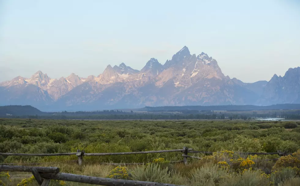
Geologists Produce New Teton Fault Map for Download
IDAHO FALLS, Idaho (AP) — A new fault map from the Wyoming State Geological Survey shows the Teton Range is still growing, with its fault line getting ever-so-slightly taller each year.
The Post Register in Idaho Falls, Idaho reports the map was created in an effort to study and track the fault line, and it's now available for a free download on the Wyoming State Geological Survey website.
The map's lead author Mark Zellman with BGC Engineering says it was created using remote sensing data that captured greater detail than was shown in previous maps.
Zellman says along the fault, the mountains are getting taller and the valley around Jackson Hole, Wyoming is getting lower by about .8 millimeters each year. At that rate, it would take 300 years or so to grow a foot.
He says the last major earthquake along the fault line occurred sometime between 4,500 and 8,000 years ago.
More From K2 Radio