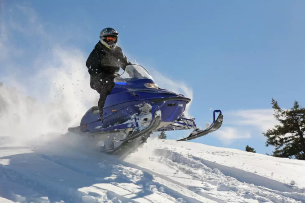
The Same Weather Setup, Wind in the East and Snow in the West
The weather will not change much over the next few days. The state will almost be split in two when it comes to weather conditions, with snow for the west and wind for the east.
Winter Storm Warnings and Winter Weather Advisories continue in the west through early Saturday morning. Several inches of new snow will pile up in the Wind Rivers, Gros Ventre and Teton Mountains and traveling will be tricky and treacherous over the mountain passes. The conveyor belt of moisture from the Pacific will continue bring in more snow this weekend as well. The Big Horns will see some snow on Saturday.
The lower elevations and central and eastern Wyoming will not see as much in the way of precipitation. However, overnight tonight and on Saturday the northeast, east central, central and southeastern parts of the state could some precipitation at times. Depending upon the temperature, some rain could mix in with the snow at times in the lower elevations.
Late Sunday into Monday a cold front is scheduled to roll through the state. Snow will start in the north and push south and east during that time frame. Travelers will need to be aware of changing weather conditions.
The wind will continue to be a factor as well. High Wind Warnings
are in effect through early Saturday morning for portions of central, south central and southeastern Wyoming. The wind will gust up to 50 and 60 mph at times.
More From K2 Radio


