Storm moves out, blowing snow a concern Wed through Friday [VIDEO]
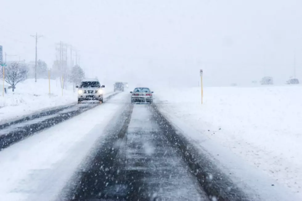
Our latest low pressure system will slowly move out of the state of Wyoming today into early Wednesday morning. Light to scattered snow showers will continue to be found throughout much of the state through mid-day and then expect a smaller chance for snow for the rest of today and tonight. We will also see cloudy, overcast skies with very cold and well below normal temperatures. Highs today will only be in the teens to lower 20's. Significant travel concerns (reduced to poor visibility with slick/icy and snow-packed roads) will continue for southeastern Wyoming, especially on I-80 from Cheyenne to Rawlins. Elsewhere, visibility will improve, but cold temperatures will likely keep roads slick and icy. Strong winds will then arrive Wednesday into Thursday, especially across central and southern Wyoming. This will likely create blowing snow, which will continue to create reduce visibility and roads will likely remain slick and icy.
More From K2 Radio


![Secretary of State Murray on Voter Turnout [VIDEO]](http://townsquare.media/site/106/files/2016/02/hqdefault.jpg?w=980&q=75)