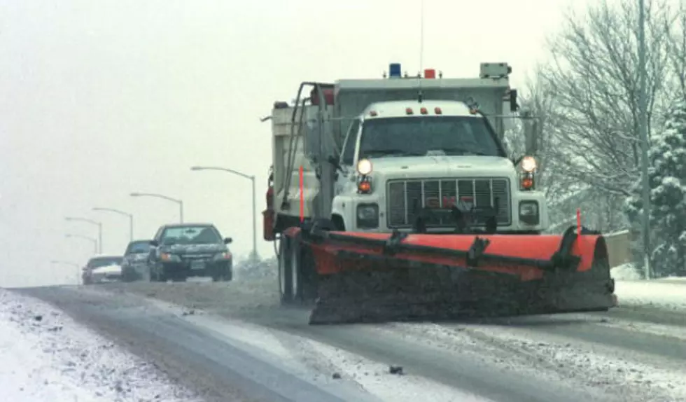
Lingering Snow In Eastern WY, Strong Winds Possible
There will be a few lingering flurries or light snow showers across central and eastern Wyoming today as a cold front slowly moves out of the area. Expect icy roads throughout the areas this morning and then watch out for a few isolated slick spots this afternoon and evening. Otherwise, expect partly to mostly cloudy skies with colder than normal temperatures. Strong winds are also possible across central and southeastern Wyoming, with gusts between 35 and 50 mph. Wind prone areas could see gusts as high as 60 mph as times. Daytime highs will remain in the 20's and 30's. Higher pressure will then build over the area on Wednesday and Thursday. Expect more sun than clouds, mainly dry weather conditions, and breezy to gusty winds. Temperatures will also become warmer and above normal.
More From K2 Radio