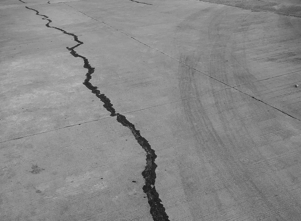
Earthquakes in Wyoming
The Federal Emergency Management Agency and US Geological Survey have classified Wyoming as having a very high seismic hazard. The first earthquake to originate in Wyoming occurred on June 25, 1894 near Casper. Dishes fell to the floor and a number of people were thrown from their beds. The Platte River was thick with mud, apparently stirred up by the tremor.
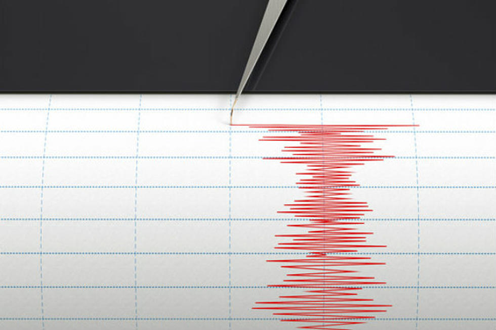
The map below represents earthquakes of magnitiude 2.5 or intensity III and above that have occured in Wyoming from 1871 to present. As can be seen, historic earthquakes have occurred in every county in Wyoming. Damaging earthquakes can occur anywhere in the state. Magnitude 7.5 events can occur in western Wyoming, magnitude 6.75 events can occur along the northern and southern margins of the Wind River Basin. And magnitude 6.25 to 6.5 events can occur anywhere in the rest of the state.
The map below shows many historic earthquakes. The Wyoming State Geological Survey (WSGS) and the Water Resources Data System (WRDS) are in the process of generating a searchable database for Wyoming. At the present time, only limited historic data can be retrieved. Presently the database contains records from:
- US Geological Survey (1998 to present)
- University of Utah (1998 to present)
- US Bureau of Reclamation (mid-1986 to present)
More From K2 Radio