A Foot Of Snow Possible In SE Wyoming Mountains
While the arctic blast that has plunged southeast Wyoming into a deep freeze for most of the last week is expected to gradually taper off this week, that doesn't mean we won't continue to see typical Wyoming February weather.
The Cheyenne Office of the National Weather Service posted this statement on its website:
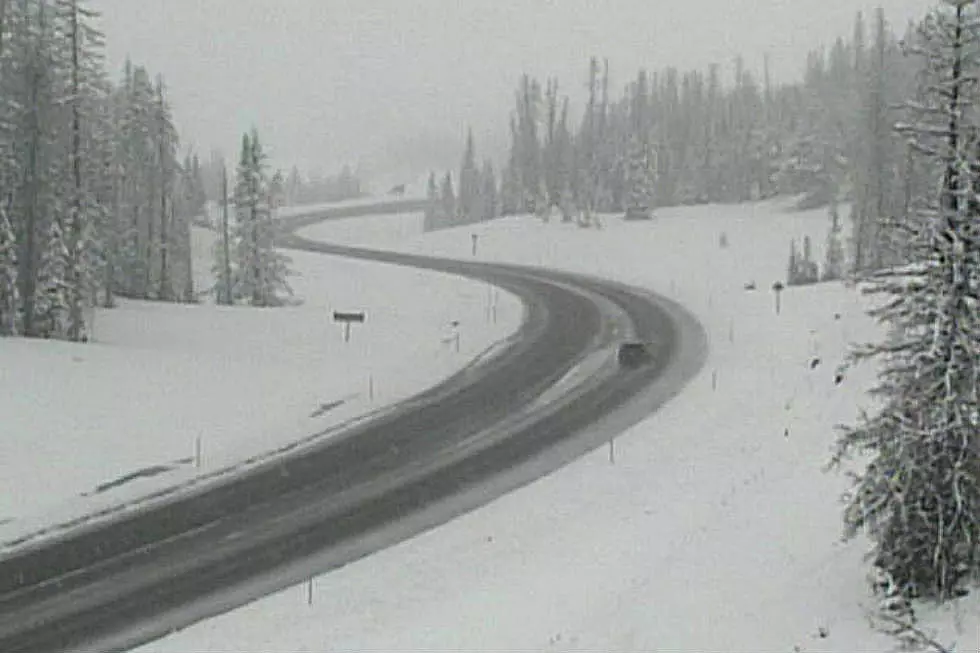
''Winter Weather Advisories are in effect for the Sierra Madre and Snowy Mountain Range beginning 11 AM Today. 10 to 12 inches of snowfall will be possible at the higher elevations above 9000 feet and 6 to 10 inches will be possible below 9000 feet elevation through early Wednesday morning. Heaviest snowfall is expected Monday night along with wind chills as low as 30 degrees below zero. Travel conditions could become hazardous and those out for recreation purposes may become disoriented due to the harsh conditions. For the latest forecast, be sure to check weather.gov/cys''

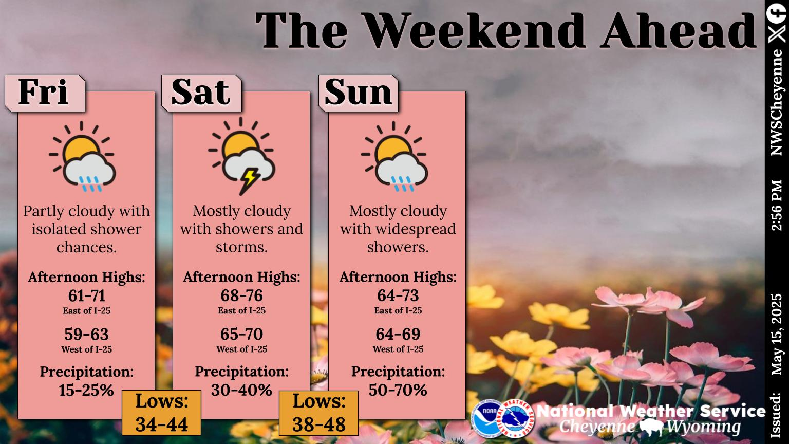
But there is good news in out forecast:

Five Of The Coldest Days in Wyoming History
More From K2 Radio


