Winter Storm Warning: 12-16 Inches + High Winds Expected In Natrona County
The National Weather Service in Riverton has issued a winter storm warning for snow and wind, which is in effect from 11:00 PM this evening to 11:00 AM MST Friday.The winter storm watch is no longer in effect.
Timing: Snow will develop tonight, and become heavy at times from the predawn hours Thursday through Thursday evening. Snow will continue through Thursday night, before subsiding by mid day Friday.
Snowfall Accumulation: Ranging from up to 2 feet on Casper Mountain, with 12 to 16 inches across Natrona County.
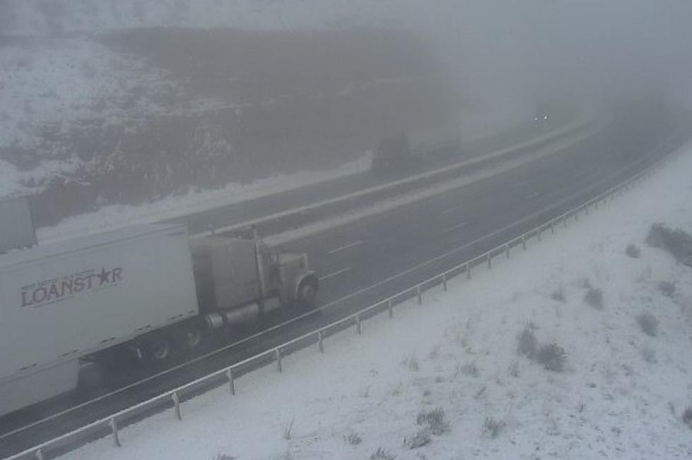
Wind and Visibility: Northeast 20 to 30 mph with gusts over 40 mph in open areas causing visibilities under one quarter mile at times due to snow falling and blowing around.
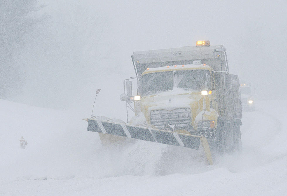
Main Impact: Roads will become slick and snow covered. Gusty northeast winds will develop early Thursday morning, causing blowing and drifting snow. This could significantly reduce visibility and make travel difficult to impossible.
Precautionary/preparedness actions: A winter storm warning means significant amounts of snow, and or blowing snow are expected or occurring. This could make travel very hazardous or impossible. If you must travel keep some food, water, and an extra flashlight in your vehicle in case of an emergency. Check the latest road conditions at wyoroad.info or by dialing 511.
More From K2 Radio