
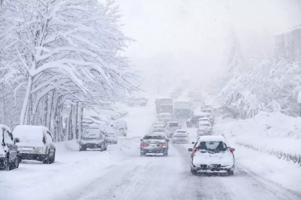
Winter storm to impact Wyoming through Tuesday [VIDEO]
A large low pressure system will continue to move across the Rockies and Plains today and will intensify over eastern Colorado/western Kansas later today and tonight. Expect cloudy, overcast skies with significantly colder temperatures statewide. Highs will stay in the teens and 20's. Moderate to heavy snow is likely across southern (especially the southeast corner) and into central Wyoming today. Poor visibility with snow-packed and icy roads are expected, including all of I-80 and I-25 (Colorado to Glendo). Elsewhere, expect light to scattered snow showers, which will cause roadways to become slick and icy. Visibility could also be reduced at times due to snow and blowing snow. Our latest low pressure system will then slowly move out of the region on Tuesday. Light to moderate snowfall is expected through mid-day, especially across southeastern Wyoming, and then snow will taper off for the rest of the day. Reduced visibility (due to blowing snow) and slick/icy roadways will continue to be found across southern and central Wyoming for the rest of the day. Visibility will improve for the rest of the state, but roads could remain slick and icy. Faster-moving weather systems will then slide across the state during the second half of the week into the upcoming weekend. This will create a chance for snow in the higher elevations, with strong winds possible across lower elevations.
More From K2 Radio


![Wyoming Lottery Pays Off Loan [Video]](http://townsquare.media/site/99/files/2016/01/Wyo-Lotto-Corporation.jpg?w=980&q=75)

