Winter Returns To Wyoming
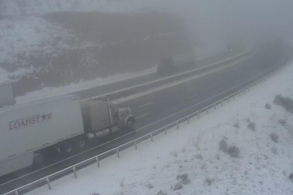
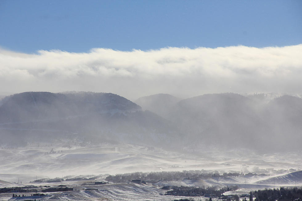
Wintery weather is making a return visit to Wyoming today. A fast moving Canadian cold front with strong north winds is bringing snow and blowing snow along with very icy highways to the Cowboy state for today.Winter Weather Advisory remains in effect until 8 this morning the Casper area, including Casper Mountain. Snowfall of 2 to 4 inches had fallen in the lower elevations of Natrona County with reports of a around a foot of snow had fallen on Casper Mountain.Snow accumulations of 2 to 5 inches in the Casper area with over a foot on Casper Mountain.
Winter Weather Advisory remains in effect until 8 this morning for the Lander Foothills, Green Mountains and Rattlesnake Range. 2 to 4 inches are expected across the area by mid morning.
Winter Weather Advisory for the Sheridan, Dayton, Ranchester, Big Horn, Story, Clearmont as well as the northeast Big Horn Mountains including Burgess Junction until 10 this morning.
6 to 10 inches is expected.
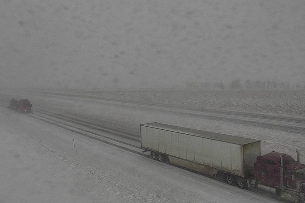
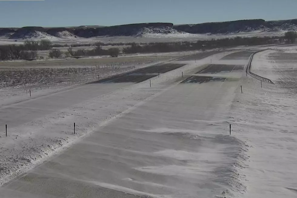
All highways affected by the snow are snow covered and icy with many 'no unnecessary travel' and black ice advisories posted. Always stay up to date on the latest weather forecast and road conditions from WYDOT.
There is a Wind Chill Advisory in effect this evening through 9am Thursday for portions of southeast Wyoming. Wind chill values will drop to 15 to 25 below zero overnight tonight.
More From K2 Radio