Turning windy and snowy in areas! [VIDEO]
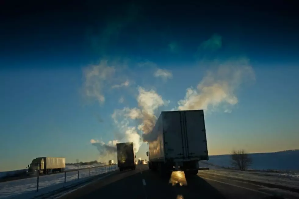
High pressure will continue to be the main weather feature across the entire state of Wyoming for the rest of today. Expect plenty of sunshine, unseasonably mild temperatures, and mainly dry weather conditions. High temperatures will stay in the upper 30's and 40's, with some lower 50's possible in the eastern plains. Winds will be strong today, especially across central and southeastern portions of the state. Watch out for wind gusts between 35 and 50 mph, with some 50+ mph gusts possible starting around 9 PM on I-80 (Laramie to Rawlins) and I-25 (near Bordeaux). A fast-moving weather disturbance will slide across northeastern portions of the state early on Friday, while a larger and slower-moving weather system approaches western Wyoming. As a result, strong to very high winds will be found throughout the entire state. Expect wind gusts between 50 and 70 mph across the more wind-prone areas of northwestern, central, and southeastern Wyoming. Elsewhere, winds could gust between 35 and 50 mph. There will also be two rounds of snow of snow on Friday. The first will occur during the morning hours in northeastern Wyoming, which could reduce visibility and will also cause roadways to become slick and icy. Snow will then gradually taper off across the this area for the rest of the day. The next round of snow will occur in western Wyoming, mainly by the evening and overnight hours. Any wet roads will freeze and form black ice on Friday night. Colder temperatures and snow showers will be found throughout the state on Saturday and Sunday.
More From K2 Radio


![Casper Police Chief Wants More Research About Body Cameras [VIDEO]](http://townsquare.media/site/101/files/2016/01/Casper-Police-Chief-Jim-Wetzel-1-26-16.png?w=980&q=75)