Severe Thunderstorm Watches, Warnings Posted Throughout Wyoming
UPDATE 2:47 p.m. Wednesday: The National Weather Service has posted severe thunderstorm warnings for northeastern Natrona County, southeastern Johnson County, east-central Albany County, northwestern Laramie County and southern Platte County.
The warnings are set to expire at 3:30 p.m.
UPDATE 2:33 p.m. Wednesday: The tornado warning for Laramie County has expired. The eastern half of Wyoming remains under a severe thunderstorm watch until 9 p.m.
The southwestern portion of Laramie County is under a tornado warning until 2:30 p.m., meteorologists with the National Weather Service say.
The NWS office in Cheyenne posted this warning at 2 p.m.:
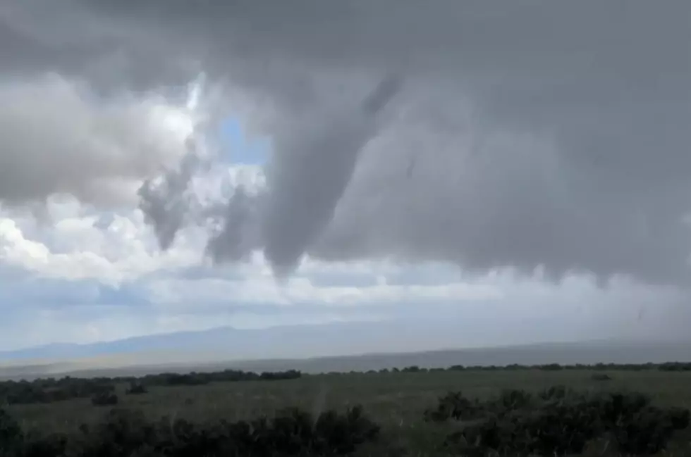
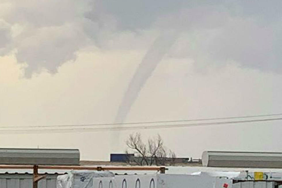
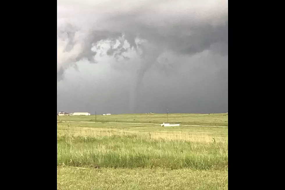
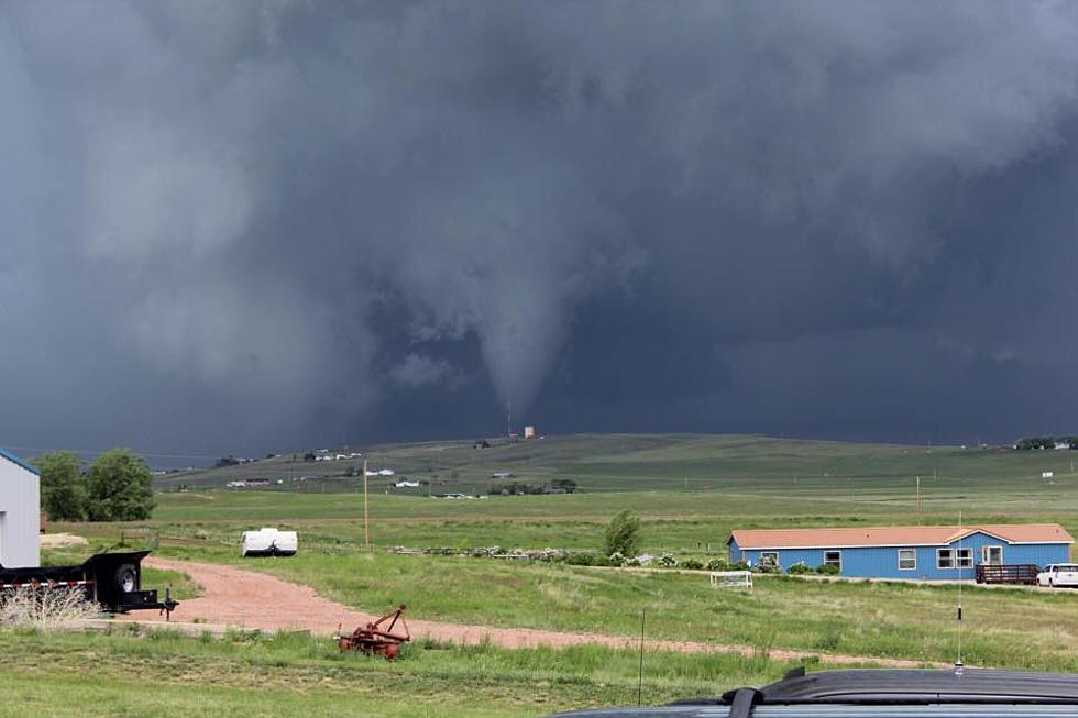
* TORNADO WARNING FOR... SOUTHWESTERN LARAMIE COUNTY IN SOUTHEAST WYOMING...
* UNTIL 230 PM MDT
* AT 157 PM MDT...A SEVERE THUNDERSTORM CAPABLE OF PRODUCING A TORNADO WAS LOCATED 5 MILES NORTHEAST OF CRYSTAL LAKE RESERVOIR AND MOVING EAST AT 20 MPH.
SOURCE...WEATHER SPOTTERS REPORTED FUNNEL CLOUD.
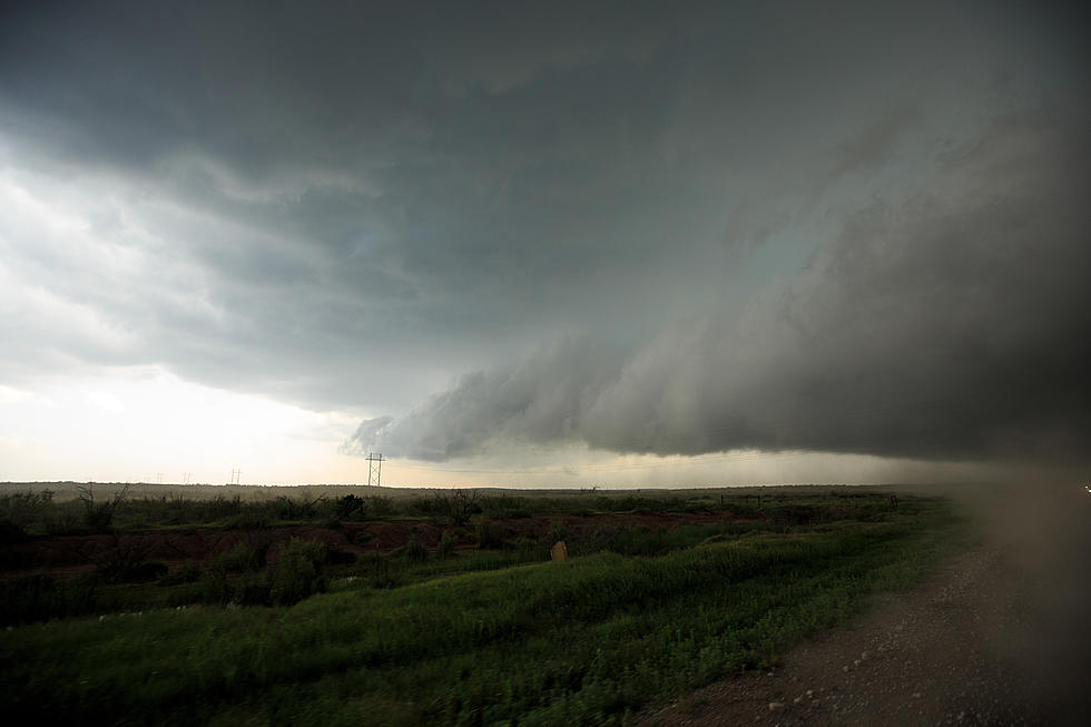
IMPACT...FLYING DEBRIS WILL BE DANGEROUS TO THOSE CAUGHT WITHOUT SHELTER. MOBILE HOMES WILL BE DAMAGED OR DESTROYED. DAMAGE TO ROOFS...WINDOWS AND VEHICLES WILL OCCUR. TREE DAMAGE IS LIKELY.
* THIS DANGEROUS STORM WILL BE NEAR... WARREN AF BASE AND FRONTIER PARK AROUND 230 PM MDT. THIS INCLUDES THE CITY OF CHEYENNE. THIS INCLUDES INTERSTATE 80 IN WYOMING BETWEEN MILEPOSTS 338 AND 365. THIS INCLUDES INTERSTATE 25 IN WYOMING BETWEEN MILEPOSTS 3 AND 9.
A severe thunderstorm watch has been posted for the eastern half of Wyoming, including Casper and Natrona County, until 9 p.m.
More From K2 Radio