Staying Very Cold With Light Snow Through Saturday, Strong Winds Arrive On Sunday
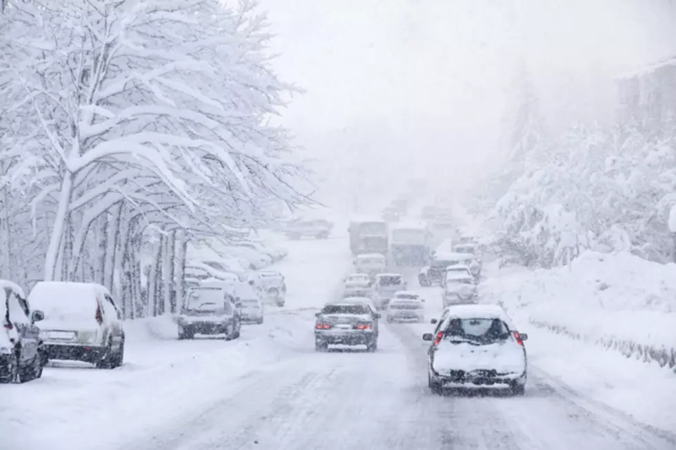
A large trough of low pressure will remain settled over the state of Wyoming for the rest of today and Saturday. This will continue to transport very cold, Arctic air into the region during this time. There is a very limited supply of moisture still associated with this weather system. For today, expect cloudy, overcast skies with light to scattered snow showers. Generally small (1-2") new accumulations are expected. However, slick and icy roads will be likely statewide. There could also be some areas of blowing snow on I-80 near Arlington and Elk Mountain. Temperatures will be bitterly cold and well below average, with highs in the teens to lower 20's. Overnight lows will drop near or below zero. Wind chill values will be even colder and well below zero. By Saturday, we will see partially clearing skies and a smaller chance for snow. Slick and icy roads will continue across the state. Blowing snow will continue to reduce visibility at times across portions of south-central Wyoming. Temperatures will also remain very cold, with highs in the teens to lower 20's. This latest low pressure system will shift slightly to the east on Sunday. As a result, a northwesterly flow and a strong pressure gradient will set up over the state of Wyoming. Expect more clouds than sun with a very small chance for snow, especially across the higher elevations and mountains. Winds will also increase and become strong to high for central and eastern portions of the state. Blowing snow is expected for the end of the weekend, which will reduce visibility and keep roads slick and icy. Temperatures, however, will be not as cold. Expect high temperatures in the 20's.
More From K2 Radio