Road Impact Forecast for Thursday, May 26 [VIDEO]
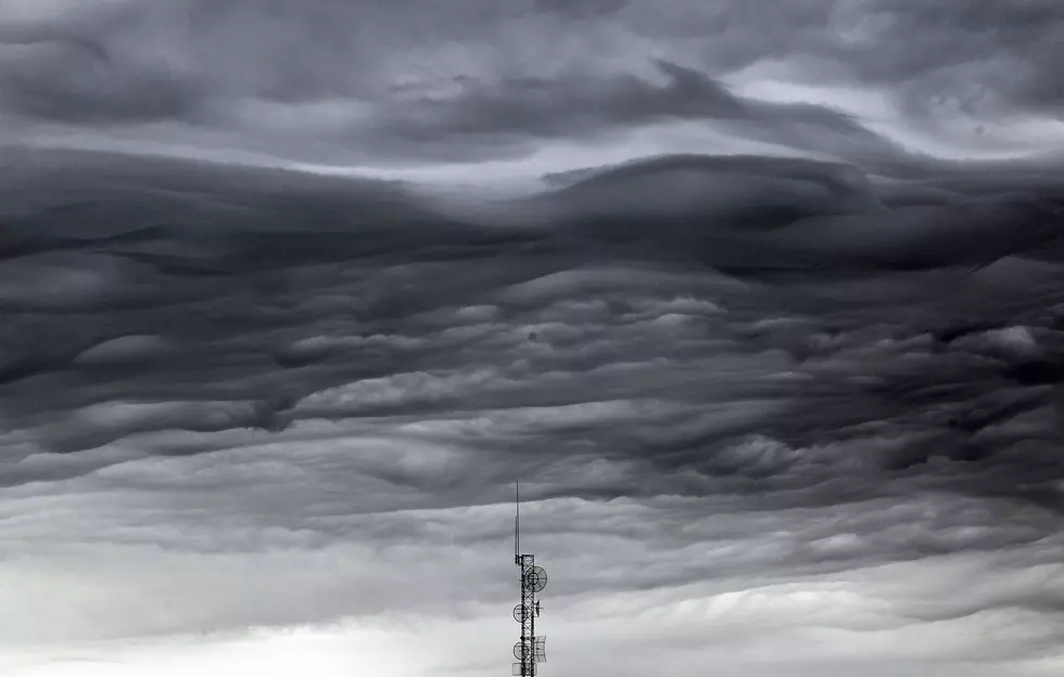
The low pressure system that has been settled over the Pacific Northwest and Rocky Mountains for the past several days will finally propagate east into the entire Rocky Mountains and High Plains today and Friday. This will transport plenty of subtropical moisture and atmospheric energy into the state of Wyoming during tis time. Expect partly to mostly cloudy skies, breezy to gusty winds, and isolated to scattered showers and thunderstorms statewide for the end of the work week. The heaviest precipitation will occur in northwestern, central, and southeastern Wyoming. However, any shower or thunderstorm could produce brief periods of heavy rain. There will also be a chance for very gusty to strong winds, hail, and frequent lightning throughout the state. Temperatures will be slightly below normal through Friday, with highs staying in the 50's and 60's. A mild and very unsettled weather pattern will continue across the state through the upcoming holiday weekend.
More From K2 Radio


![Shia LaBeouf Stops in Laramie [PHOTOS]](http://townsquare.media/site/98/files/2016/05/GettyImages-531598934.jpg?w=980&q=75)


![Throne Seeks 6th Term [VIDEO]](http://townsquare.media/site/99/files/2016/05/H-Throne-Mary-DL.jpg?w=980&q=75)