
Road Impact Forecast for Thursday, March 31 [VIDEO]
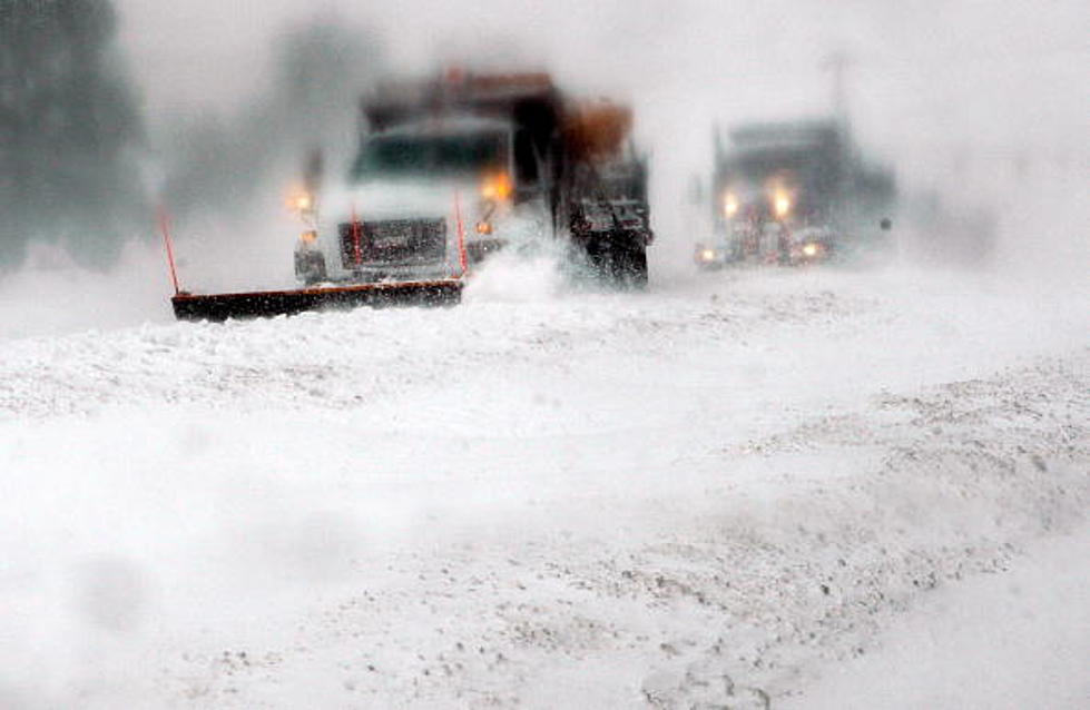
Our latest weather system and cold front will shift slightly to the east today. As a result, a cold northwesterly flow will be set up over the state of Wyoming. Expect cloudy to mostly cloudy skies, breezy to strong winds, and light to scattered snow showers statewide. Generally small, if any, new snow accumulations are expected. Temperatures will also be cold and well below normal, with highs in the 20's and 30's. Travel concerns will include slick and icy roadways as well as some areas of blowing snow and reduced visibility. Higher pressure will then build over the region on Friday and Saturday. Expect partly to mostly sunny skies and mainly dry weather conditions during this time, but winds could still be gusty at times. Temperatures will remain colder than normal on Friday. Expect milder and closer to average temperatures by Saturday.
More From K2 Radio


![Winter Storm Troy Pounds Casper With Snow [PHOTO GALLERY]](http://townsquare.media/site/102/files/2016/03/Mandy-Anderson.jpg?w=980&q=75)
![Driving To Work During Winter Storm In Casper [VIDEO]](http://townsquare.media/site/102/files/2016/03/Winter_Storm_Driving.png?w=980&q=75)