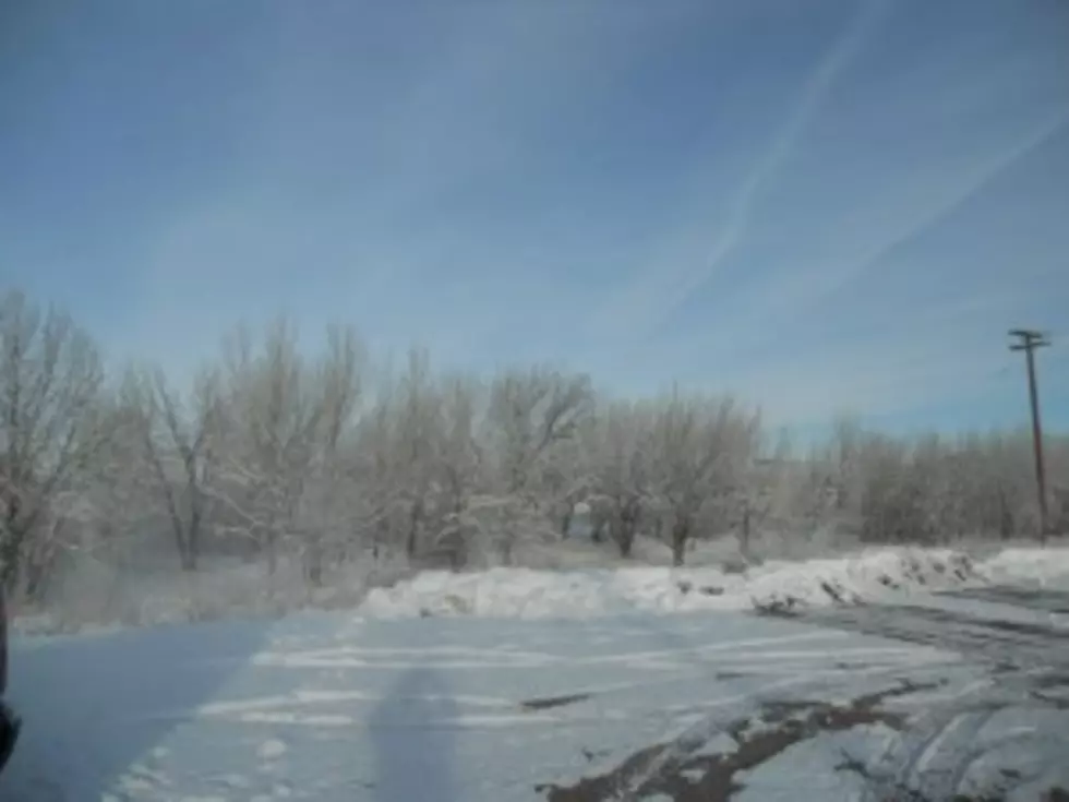
More Wind And Snow For Wyoming
Wyoming will continue to experience high winds and western Wyoming will receive another round of snow for the next couple of days.High Wind Warning remains in effect until 6am Saturday for the Casper area. Southwest wind sustained between 30 and 45mph will be common with gusts to 65mph.
Most of central and southern Wyoming is under either a High Wind Warning or Watch today and into Saturday. West-southwest wind sustained between 30 and 45mph will be common with gusts from 65 to 75mph. Because of the winds many highways will have no light trailer advisories and in the snow covered areas there will be black ice advisories.
Another round of significant snowfall and wind is expected for much of western Wyoming through Saturday.
Winter Storm Warnings are posted until 5am Saturday for portions of Yellowstone Park including Lake, Mammoth and Old Faithful. The Teton and Gros Ventre Mountains, Salt River and Wyoming Ranges, Absaroka Mountains and the Wind River Mountain West. The Tetons could get another 12 to 16 inches of snow with 10 to 13 inches in the Gros Ventre's. Most other mountain ranges could see anywhere from 6 to 15 inches with the lower elevations receiving lesser amounts.
The Bridger-Teton National Forest Avalanche Center continues to issue an Avalanche Warning until midnight Friday. Travel in avalanche terrain is not recommended. Avalanches could impact roadways on Teton Pass and in the Hoback and Snake River Canyons.
Winter Weather Advisory remains in effect until 5am Saturday for the Jackson area. 4 to 8 inches of snow is expected.
All areas impacted by the snow will have strong winds at times gusting to 40 to 60mph.
To get the latest road conditions from WYDOT, go to k2radio.com and click on the weather tab at the top of the page
More From K2 Radio