Icy Cold With Snow In The Southeast & Mountains
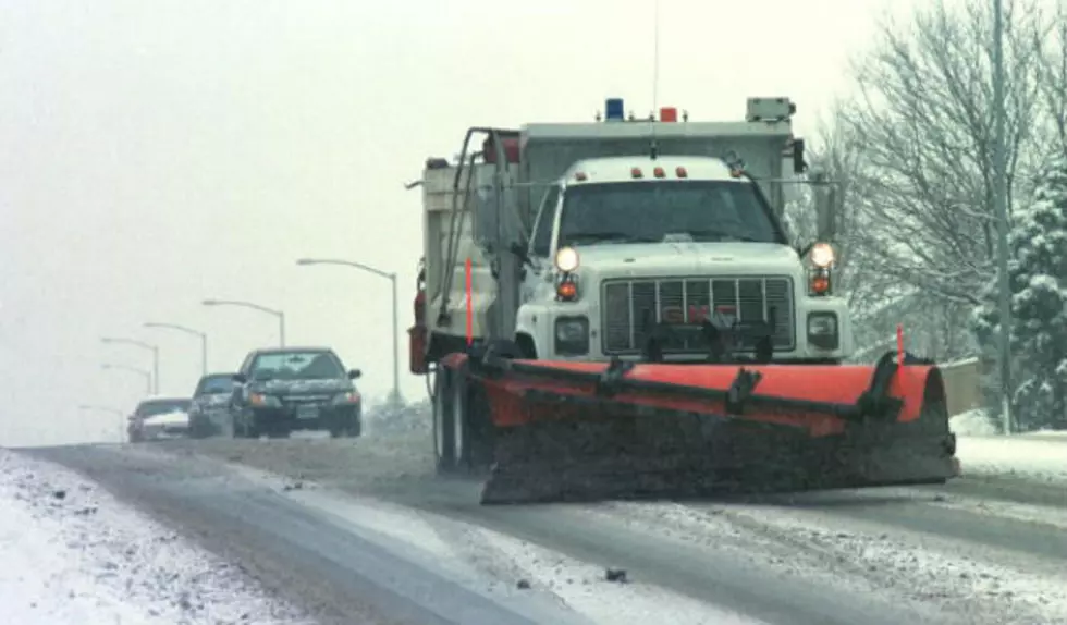
A strong Arctic cold front and weather system passed through the area yesterday. This will make temperatures icy cold and well below average throughout the state today. Temperatures for many locations will not be able to rise out of the teens. Light to moderate snowfall will continue today across southeastern portions of the state as well as the northern, western, and southern mountains. Strong winds will also be possible across central and southern Wyoming today, which will create areas of blowing snow and reduced visibility and will also keep roads slick and icy in places. We will be in between weather systems during much of the day on Saturday. Expect more clouds than sun, breezy to windy conditions and colder than normal temperatures statewide. Recent snowfall and strong winds will continue to reduce visibility and cause travel concerns throughout the state for the start of the weekend. Our next cold front will move across the region Saturday night into Sunday, which will cause snow to develop across western, northern and central Wyoming. Light snow and breezy to windy conditions will continue across western, northern, and central Wyoming on Sunday, while snow will not develop until the evening and overnight hours throughout southeastern Wyoming. Temperatures for the end of the weekend will remain cold and below average.
More From K2 Radio