Forecasted Road Impacts for Wyoming [VIDEO]
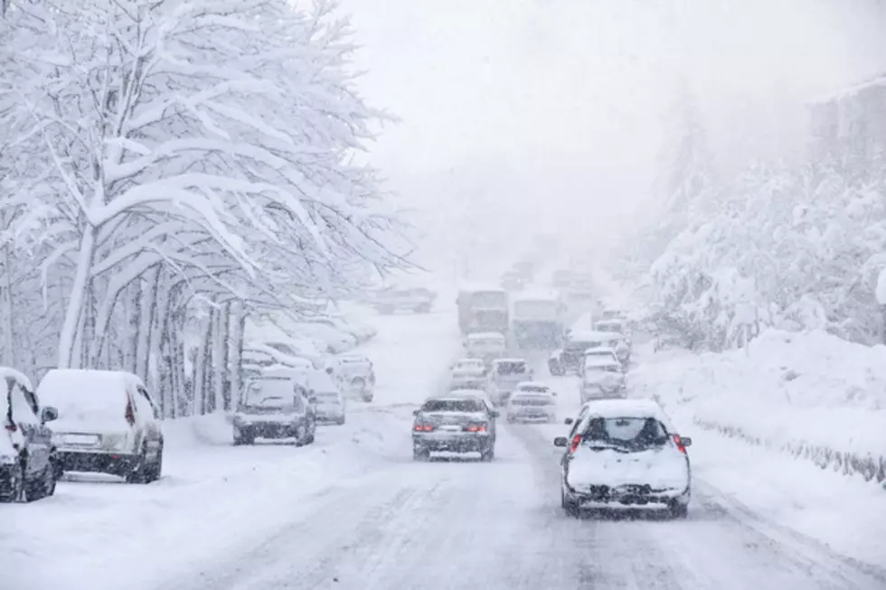
An upper-level weather disturbance and cold front will move across the state of Wyoming today into early Tuesday morning. Expect partly to mostly cloudy skies, breezy winds, and cool temperatures today. Highs will remain in the 30's and 40's. Light snow or a rain/snow mix will develop in western and much of southern Wyoming later this afternoon/evening and will continue overnight. Roads will mostly likely become slick and icy, especially after sunset, and there could also be some periods of reduced visibility. For the rest of the state, there will be only a small chance for rain and snow, with no major travel concerns. Expect early clouds with lingering flurries or light snow showers on Tuesday. Roads will also remain slick and icy for western and southern Wyoming through mid-day. Higher pressure will then start to build overhead for the rest of the day. Expect increasing sunshine with improving travel and weather conditions. Temperatures, however, will be colder and closer to average.
More From K2 Radio


![Wyoming Coach Larry Shyatt Celebrates CSU Win With Roadside ‘Dab’ [VIDEO]](http://townsquare.media/site/102/files/2012/10/140969032.jpg?w=980&q=75)