East Coast Braces For ‘Frankenstorm’ Monster
WASHINGTON (AP) — Meteorologists say the pre-Halloween hybrid weather monster nicknamed "Frankenstorm" is looking more ominous by the hour for the East Coast. So utilities and local governments are getting ready.
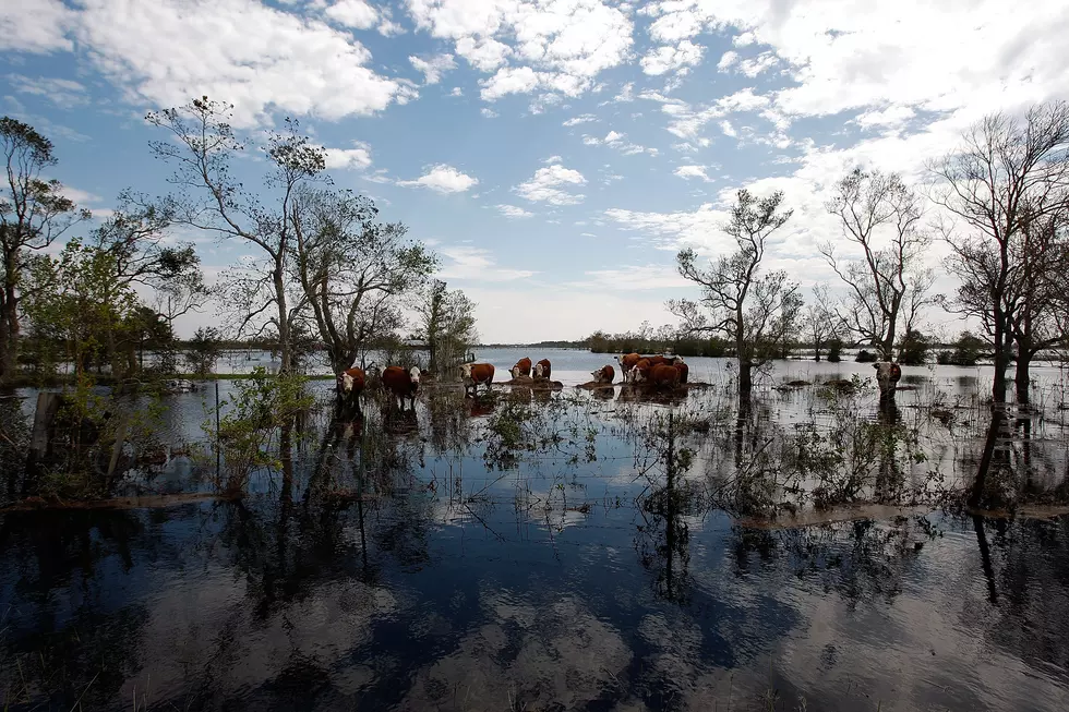
Forecasters expect a natural horror show of high wind, heavy rain, extreme tides and maybe snow to the west beginning early Sunday. It should peak with the arrival of Hurricane Sandy on Tuesday near New Jersey and linger past Halloween.
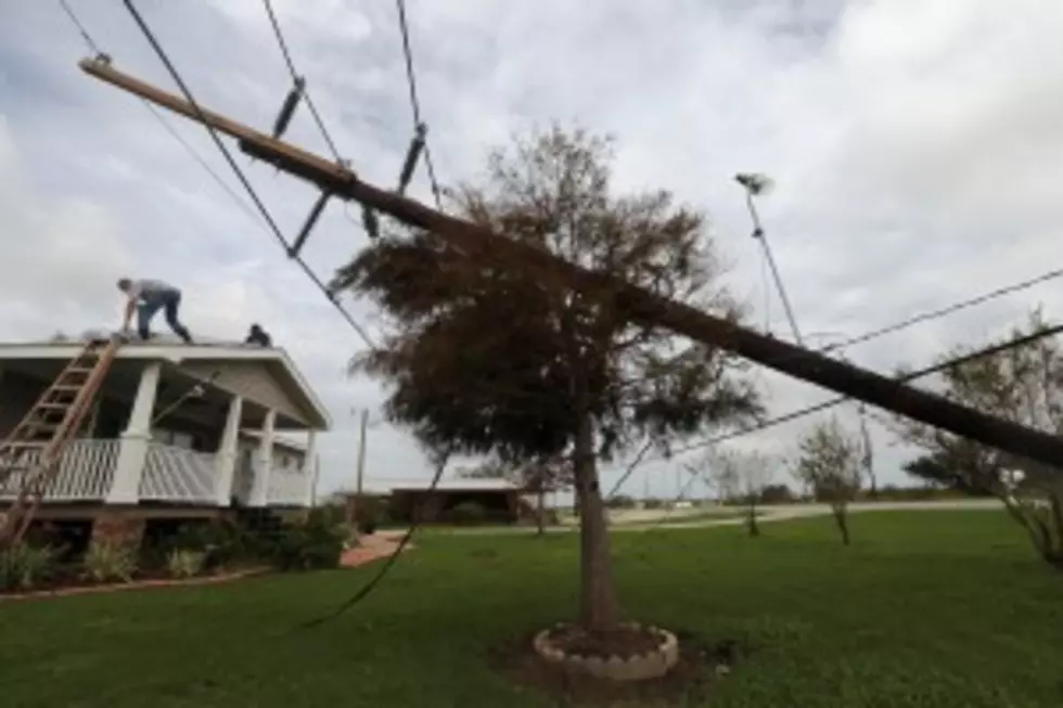
Experts predict at least $1 billion in damage.
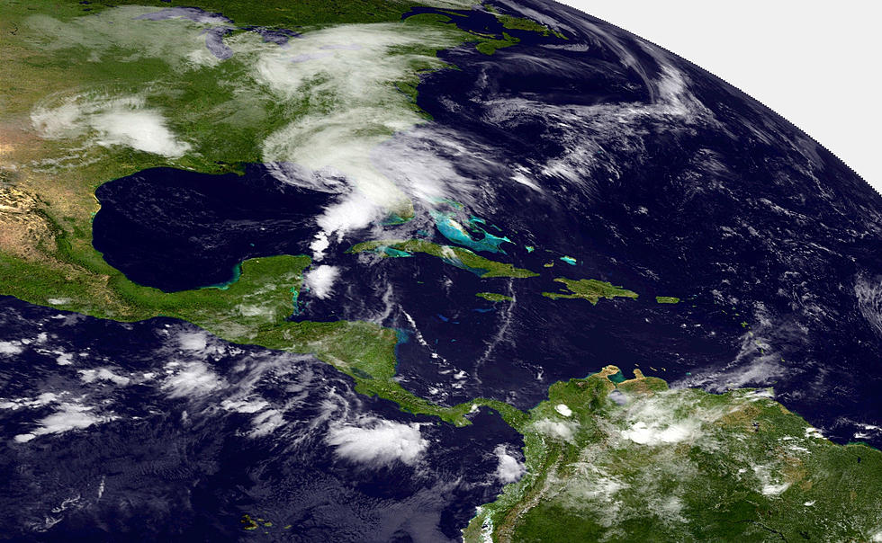
Hurricane Sandy, having blown through Haiti and Cuba, continues to barrel north. A wintry storm is chugging across the country from the West. And frigid air is streaming south from Canada.
When they meet Tuesday, they could create a big, wet mess that settles over the nation's most heavily populated corridor.
More From K2 Radio