Cold With Snow Through Mid-Day, High Winds & Blowing Snow Tonight
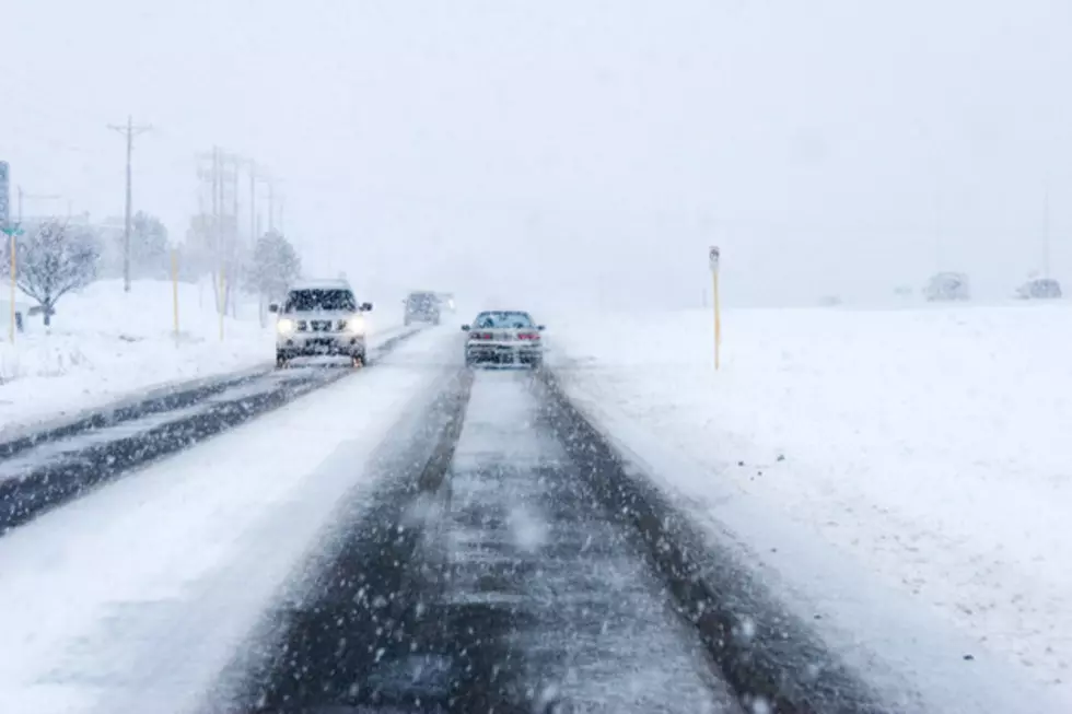
A strong cold front will push out of the state of Wyoming today. Light snow showers will continue to be possible into the the afternoon hours, mainly across central and southern portions of the state. Poor visibility and hazardous driving conditions will be expected throughout I-25 (Colorado state line to Casper), I-80 (Nebraska state line to Arlington) and US-85 (Colorado state line to Lusk) during this time. Reduced visibility with slick, icy roads will also continue throughout the rest of the state. Temperatures will be significantly colder and well below average statewide, with daytime highs will remain in the 20's and 30's. By later this evening and overnight, windy conditions will be possible throughout central and eastern Wyoming. High winds will be likely across wind prone areas of I-25 and I-80, with gusts up to 65 mph. This will cause blowing and drifting snow, which will continue to create lowered visibility and hazardous driving conditions. Winds across the rest of central and eastern Wyoming could gusts as high as 50 mph and this could also create some travel concerns and areas of blowing snow. High winds will continue across southeastern Wyoming on Thursday, with gusts between 50 and 65 mph. Poor visibility and hazardous driving conditions will be possible through about 10 AM due to blowing and drifting snow. Snow will begin to melt throughout the day as temperatures quickly heat up and become near or slightly above average. Any wet roads will turn to ice by Thursday night.
More From K2 Radio