
Cold With Light To Scattered Snow Today, Becoming Bitterly Cold On Saturday
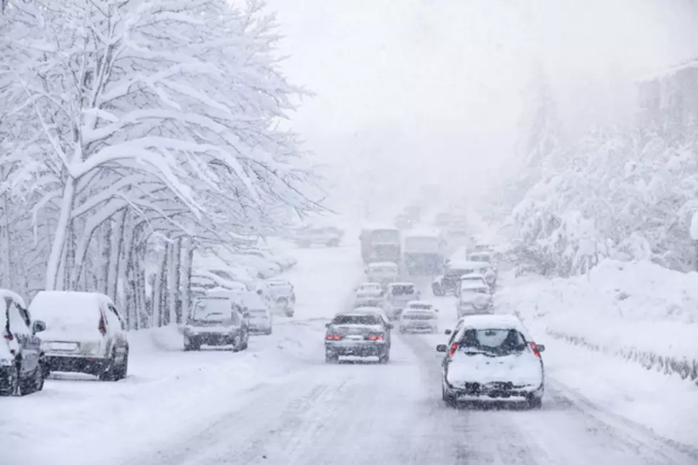
A low pressure system will be settled over southwestern portions of the nation for Christmas Day and Saturday. This will funnel moisture and atmospheric instability into the state of Wyoming during this time. A strong Arctic cold front will also dig south across the region today. Expect cloudy, overcast skies with light to scattered snow showers statewide today. The best chance for snow will be in southeastern portions of the state. However, reduced visibility with slick and icy roads will be found throughout the entire state. Temperatures will also be cold and near or slightly below average, with highs in the 20’s. Light to scattered snow showers will continue through mid-day on Saturday, especially throughout central and eastern Wyoming. Visibility will also be reduced at times. Snow will then slowly taper off and skies will gradually clear for the rest of the day. Roads will likely remain slick and icy through the rest of Saturday. Temperatures will also be bitterly cold, with highs only in the teens. By Sunday, the low pressure system that has been settled over southwestern portions of the nation will be “cut-off” from the normal flow and will hover over New Mexico and Texas. As a result, higher pressure will build over Wyoming. Expect minimal cloudiness and mainly dry weather conditions. Temperatures will also be not as cold, with highs in the 20’s and 30’
More From K2 Radio


![Santa brings some fresh snow with him for Christmas! [VIDEO]](http://townsquare.media/site/98/files/2015/04/wyomountains.jpg?w=980&q=75)
![Cheyenne Police Enlist The Grinch to Nab Speeders [VIDEO]](http://townsquare.media/site/99/files/2015/12/Grinch-on-Patrol.jpg?w=980&q=75)


![What Was Named the Politifact ‘Lie of the Year’ for 2015? [VIDEO]](http://townsquare.media/site/757/files/2015/12/pants-on-fire.jpg?w=980&q=75)