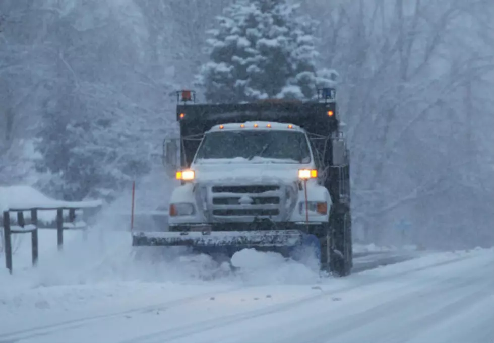
Bitter Cold & Moderate To Heavy Snowfall Moves Into Wyoming Tonight
Pacific moisture will be flowing into western and southern portions of the state today, which will create light snow or brief snow showers. Slick and icy roads with some areas of reduced visibility will be possible along I-80 (Utah state line to Laramie) and WY-28 near South Pass. Elsewhere, expect just a small chance for flurries or light snow with no major travel concerns. We will also see cloudy to mostly cloudy skies throughout the state. Temperatures will be not as cold today, but it will still be colder than normal. Daytime highs will remain in the 20's and 30's. Pacific moisture will continue to move into the state of Wyoming this evening and overnight and collide with an Arctic cold front. This will create moderate to heavy snowfall across central, south-central and the southern mountains into late Tuesday morning. Lower elevations of central and south-central Wyoming could see 4-8" of new snow, while 10-16" possibly up to 2' will be possible in the southern mountains. Elsewhere, expect light to moderate accumulations (2-5"). Slick, icy and snowpacked roads with poor visibility will be likely for I-25, I-80, US-85 (Colorado state line to LaGrange) and WY-28 near South Pass tonight and for much of the day on Tuesday. We will see slick and icy roads with some areas of blowing snow for the rest of the state. Expect bitterly cold temperatures and light to moderate snowfall on Tuesday.
More From K2 Radio