A Few More Thunderstorms Today, a Bit Cooler Wednesday
After a couple of toasty days in the Cowboy State, temperatures will cool off and return to more comfortable levels today and Wednesday. A passing cold front will bring in somewhat cooler temperatures today with highs in the 50s to near 60 in the mountains and mid 70s and 80s in the lower elevations. Tomorrow’s daytime highs will be about 10 degrees cooler.
The cold front will also bring in better chances for thunderstorms, especially in the north and east. Thunderstorms will contain some heavy rain, frequent lightning and strong wind.
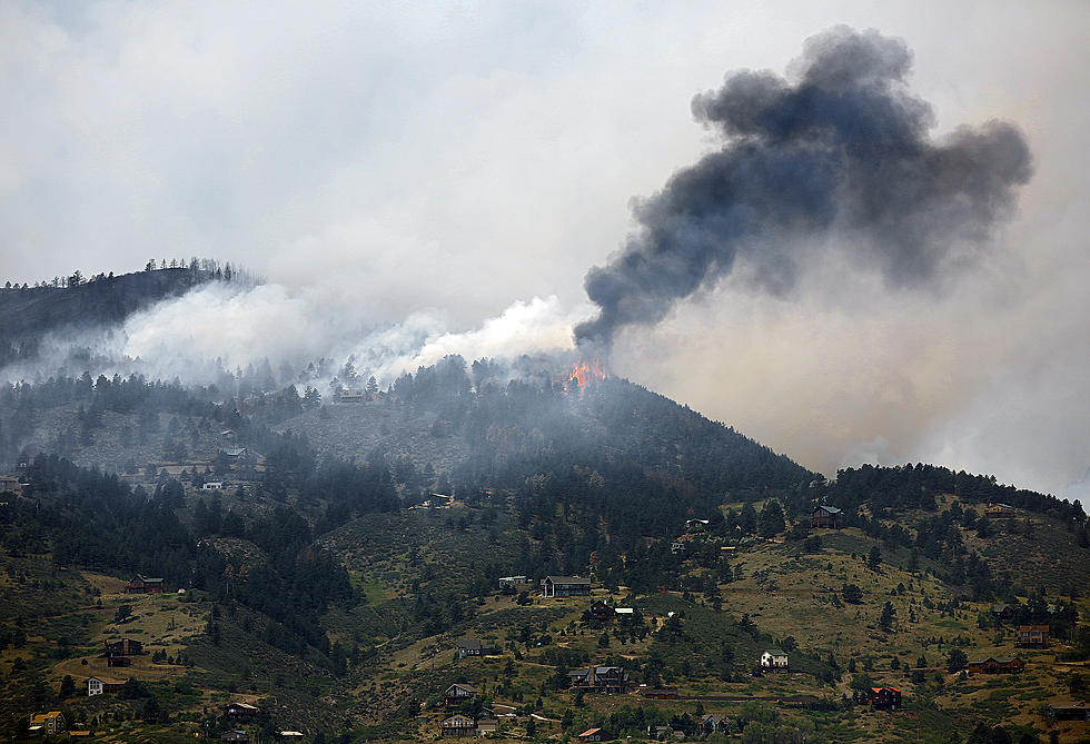
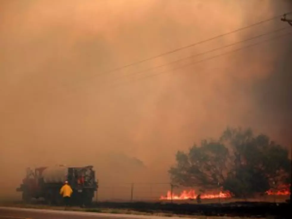
Speaking of the wind, it could gust to 45 mph today in central and eastern portions of the state. The wind and low relative humidity is once again causing high to extreme fire dangers. Southern and portions of central Wyoming are under a Red Flag Warning through 9pm tonight.
More From K2 Radio


![Converse County Fire Continues To Grow [GALLERY]](http://townsquare.media/site/101/files/2012/06/fire6.jpg?w=980&q=75)